Transport Functions
Port
Road
Multimodal
Hub Profile
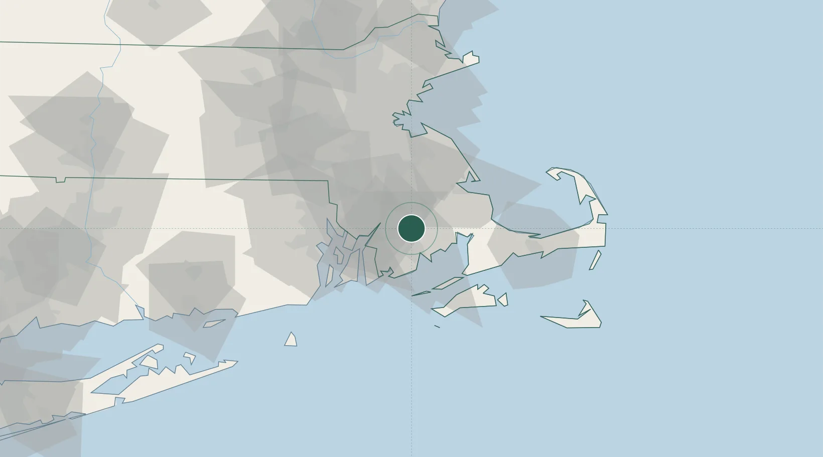
Place type
Populated place
Region
Massachusetts
Time zone
America/New_York
Elevation
23 m
Location
Nearby Logistics Neighbours
Cities
- 1East Taunton12 km
- 2New Bedford15 km
- 3North Dartmouth15 km
- 4Marion18 km
- 5Somerset18 km
Ports
- 1New Bedford15 km
- 2Fall River19 km
- 3Tiverton27 km
- 4Bristol29 km
- 5Plymouth31 km
Airports
Trade Zones
DatabookThe Record of Consolidated Knowledge
United States beyond logistics?