UN/LOCODE hub · United States
USNBD
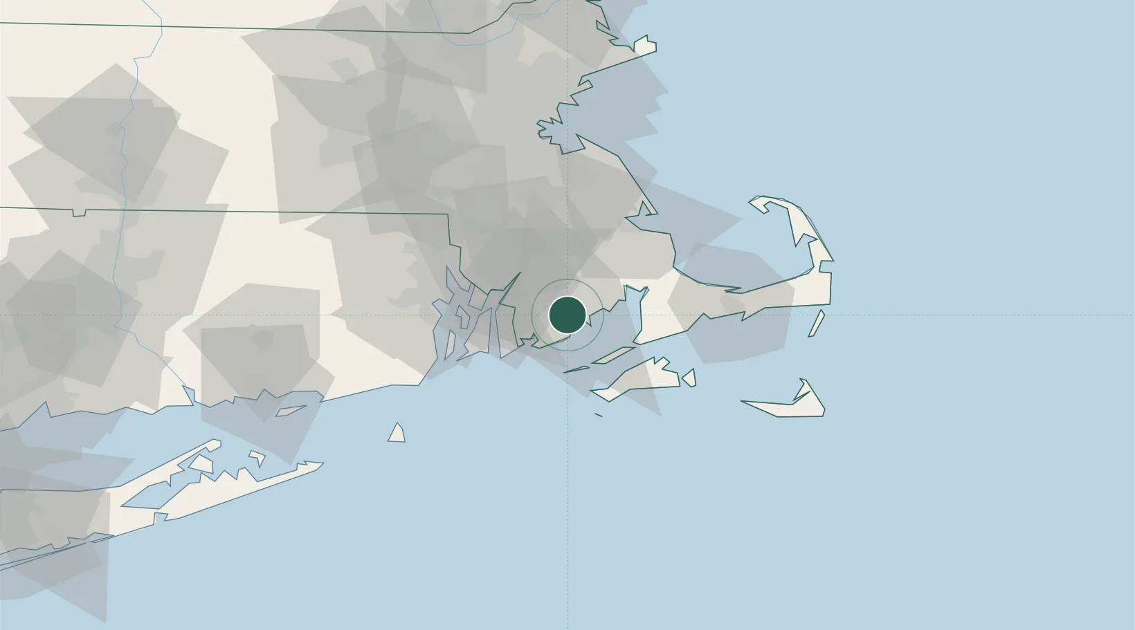
New Bedford
41.6333°, -70.9333°
101,079
Population
2
Transport functions
Transport Functions
Port
Road
Hub Profile
Place type
Populated place
Region
Massachusetts
Population
101,079
Time zone
America/New_York
Elevation
29 m
Location
Nearby Logistics Neighbours
Cities
- 1North Dartmouth3 km
- 2South Dartmouth6 km
- 3East Freetown15 km
- 4Marion17 km
- 5Fall River21 km
Ports
- 1Fall River21 km
- 2Tiverton24 km
- 3Woods Hole26 km
- 4Falmouth28 km
- 5Bristol28 km
Airports
Trade Zones
DatabookThe Record of Consolidated Knowledge
United States beyond logistics?