UN/LOCODE hub · United States
USVAD

Valders

44.0667°, -87.8833°
940
Population
3
Transport functions

Transport Functions

Rail
Road
Multimodal
UN/LOCODE

Hub Profile

Place type
Populated place
GeoNames
Region
Wisconsin
GeoNames
Population
940
GeoNames
Time zone
America/Chicago
GeoNames
Elevation
254 m
GeoNames

Location

Location of USVAD
Natural Earth 10m (public domain) · Wisconsin · USVAD · 44.07, -87.88GoogleOSMYandex

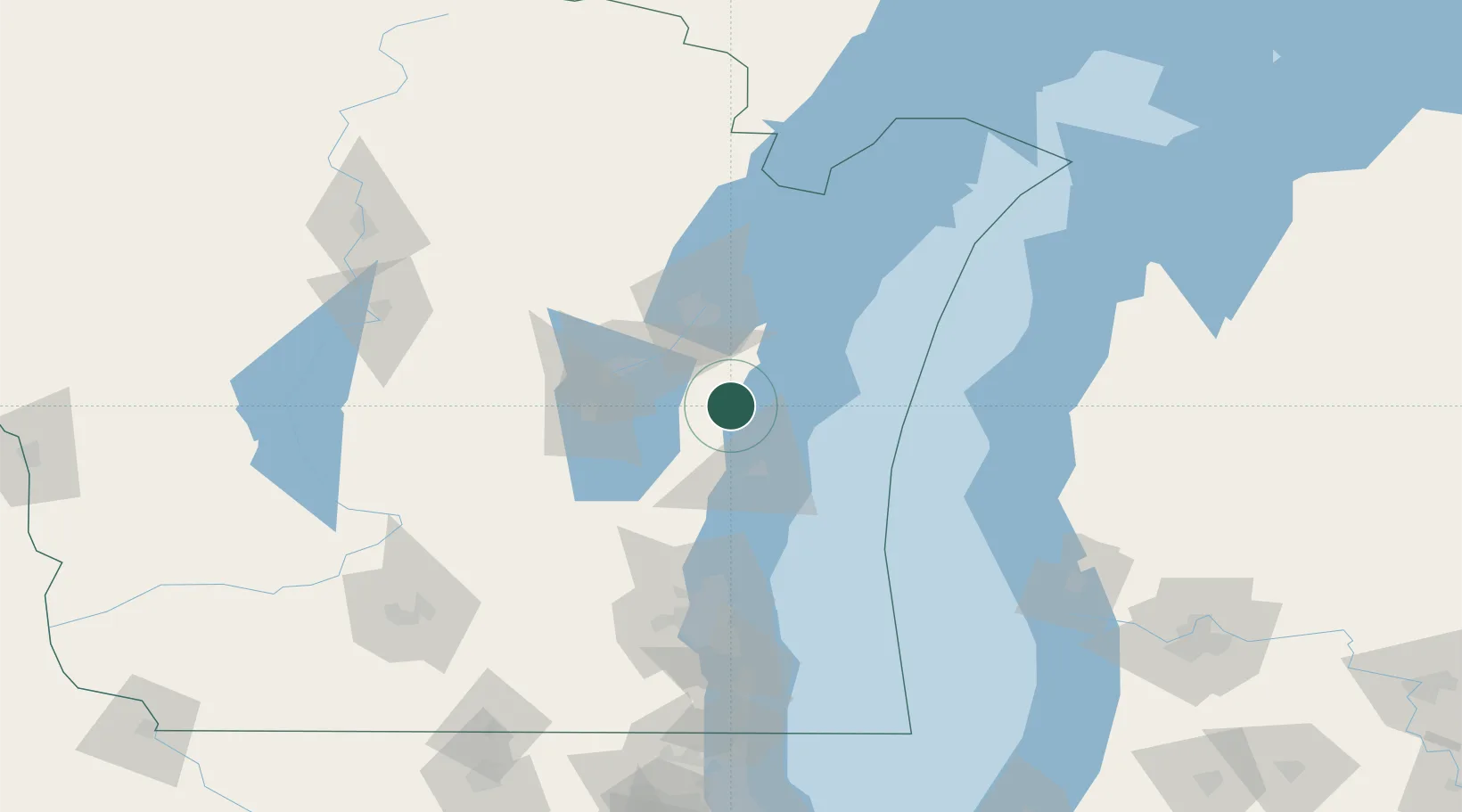
Nearby Logistics Neighbours

Cities
  1. 1Reedsville11 km
  2. 2Branch13 km
  3. 3Clover15 km
  4. 4Kiel21 km
  5. 5Holland29 km
Nearest neighbours — logibook spatial index (haversine) over the source coordinates
Ports
  1. 1Manitowoc19 km
  2. 2Two Rivers27 km
  3. 3Sheboygan38 km
  4. 4Kaukauna39 km
  5. 5Green Bay51 km
Nearest neighbours — logibook spatial index (haversine) over the source coordinates
Airports
  1. 1Austin Straubel International Airport50 km
  2. 2Wittman Regional Airport55 km
  3. 3Appleton International Airport55 km
  4. 4General Mitchell International Airport125 km
  5. 5Manistee County Blacker Airport133 km
Nearest neighbours — logibook spatial index (haversine) over the source coordinates
Trade Zones
  1. 1FTZ No. 167 Brown County54 km
  2. 2FTZ No. 041 Milwaukee114 km
  3. 3FTZ No. 019 Omaha125 km
  4. 4FTZ No. 189 Kent Ottawa/Muskegon Counties158 km
  5. 5FTZ No. 266 Dane County184 km
Nearest neighbours — logibook spatial index (haversine) over the source coordinates
DatabookThe Record of Consolidated Knowledge
United States beyond logistics?
Browse databook

All Sources

LocationsUN/LOCODE
UN/LOCODE — free
LocationsGeoNames
CC BY 4.0
Portsthe NGA World Port Index
Public domain (US gov)
AirportsOurAirports
Public domain
Trade Zonesthe World Bank SEZ database
CC BY 4.0
Trade ZonesOpen Zone Map
CC BY
← United States locations