UN/LOCODE hub · United States
USREI
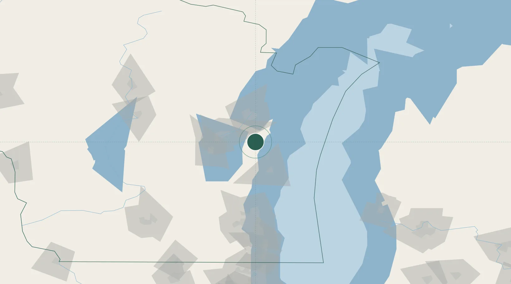
Reedsville
44.1500°, -87.9500°
1,175
Population
2
Transport functions
Transport Functions
Road
Multimodal
Hub Profile
Place type
Populated place
Region
Wisconsin
Population
1,175
Time zone
America/Chicago
Elevation
252 m
Location
Nearby Logistics Neighbours
Cities
- 1Valders11 km
- 2Branch16 km
- 3Holland20 km
- 4Clover24 km
- 5Wrightstown25 km
Ports
- 1Manitowoc25 km
- 2Kaukauna29 km
- 3Two Rivers31 km
- 4Green Bay41 km
- 5Sheboygan49 km
Airports
Trade Zones
- 1FTZ No. 167 Brown County44 km
- 2FTZ No. 041 Milwaukee122 km
- 3FTZ No. 019 Omaha136 km
- 4FTZ No. 189 Kent Ottawa/Muskegon Counties168 km
- 5FTZ No. 266 Dane County185 km
DatabookThe Record of Consolidated Knowledge
United States beyond logistics?