Transport Functions
Multimodal
Hub Profile
Place type
Populated place
Region
Wisconsin
Time zone
America/Chicago
Elevation
229 m
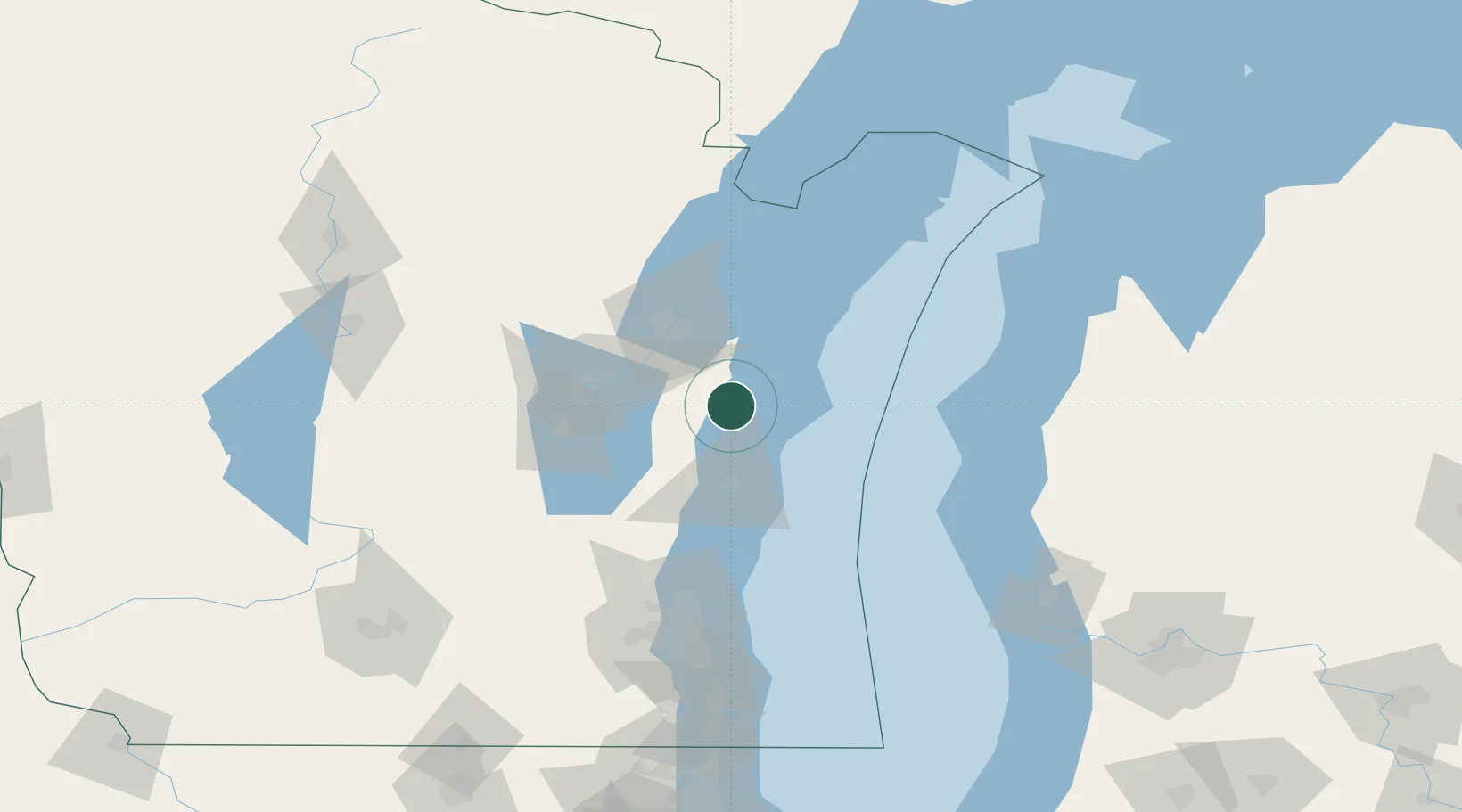
Location
Nearby Logistics Neighbours
Cities
- 1Clover12 km
- 2Valders13 km
- 3Reedsville16 km
- 4Kiel34 km
- 5Holland35 km
Ports
- 1Manitowoc9 km
- 2Two Rivers15 km
- 3Kewaunee42 km
- 4Sheboygan43 km
- 5Kaukauna44 km
Airports
Trade Zones
- 1FTZ No. 167 Brown County56 km
- 2FTZ No. 041 Milwaukee123 km
- 3FTZ No. 019 Omaha123 km
- 4FTZ No. 189 Kent Ottawa/Muskegon Counties154 km
- 5FTZ No. 266 Dane County197 km
DatabookThe Record of Consolidated Knowledge
United States beyond logistics?