Channel & Berth Profile
Pilotage, Tugs & Services
Pilotage availableYES
Tug assistanceYES
Potable waterYES
Diesel bunkersNO
MedicalYES
Facilities & Capabilities
Container—
Ro-Ro—
Liquid bulk—
Dry bulk—
Oil terminal—
Break bulk—
Dry dock—
Repairs—
BunkeringNO
Rail linkYES
Dangerous cargo—
ISPS security—
Harbour Specifications
Harbour size
Very Small
Harbour type
Open Roadstead
Shelter
Poor
Water body
Alaska-Canada coastal waters; North Pacific Ocean
Tidal range
3.7 m
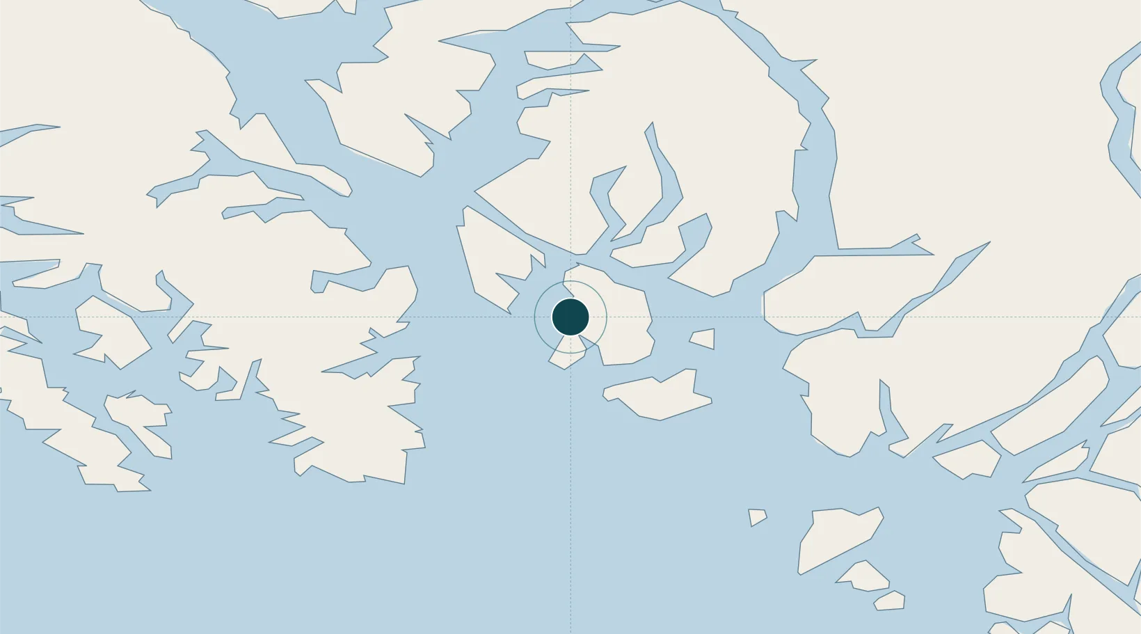
Location
Nearby Logistics Neighbours
Cities
- 1Ketchikan25 km
- 2Ward Cove31 km
- 3Neets Bay72 km
- 4Prince Rupert122 km
- 5Queen Charlotte212 km
Airports
Trade Zones
- 1PrInce George Logistics Park584 km
- 2FTZ Vancouver Island871 km
- 3FTZ No. 128 Whatcom County934 km
- 4FTZ No. 129 Bellingham940 km
- 5FTZ No. 173 Grays Harbor1018 km
DatabookThe Record of Consolidated Knowledge
United States beyond logistics?