Medium airport · United States

Ketchikan International AirportPAKT

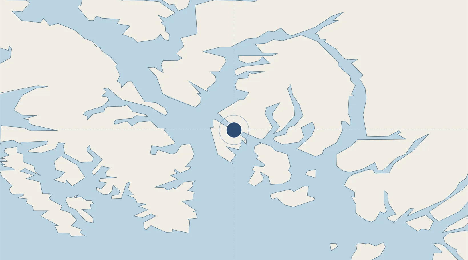
55.3556°, -131.7140°
7,500 ft
Longest runway
1
Runways
89 ft
Elevation

Runway & Layout

Ketchikan International Airport runway & taxiway layout
Runway & taxiway layout — OpenStreetMap (ODbL) / OurAirports

Radio Frequencies

ATIS
119.9 MHz
CTAF
123.6 MHz
CNTR
118.5 MHz
ANCHORAGE CNTR
FSS
123.6 MHz
RDO
UNIC
122.95 MHz
UNICOM
OurAirports

Navaids

CMJ NDB Clam Cove 396 kHz
OurAirports

Runways · 1

RunwayDimensions SurfaceTrue headingLit
11/29 7,500 × 150ft ASPH-G 136°
OurAirports

Airport Specifications

IATA code
KTN
OurAirports
ICAO code
PAKT
OurAirports
Airport class
Medium airport
OurAirports
Scheduled service
Yes
OurAirports
Runway surface
ASPH-G
OurAirports
Served city
Ketchikan
OurAirports

Location

Location of PAKT
Natural Earth 10m (public domain) · British Columbia · PAKT · 55.36, -131.71GoogleOSMYandex

Nearby Logistics Neighbours

Airports
  1. 1Ketchikan Harbor Seaplane Base2 km
  2. 2Metlakatla Seaplane Base26 km
  3. 3Annette Island Airport37 km
  4. 4Kasaan Seaplane Base48 km
  5. 5Hollis Clark Bay Seaplane Base61 km
Nearest neighbours — logibook spatial index (haversine) over the source coordinates
Cities
  1. 1Ketchikan3 km
  2. 2Ward Cove5 km
  3. 3Metlakatla27 km
  4. 4Neets Bay48 km
  5. 5Prince Rupert147 km
Nearest neighbours — logibook spatial index (haversine) over the source coordinates
Ports
  1. 1Ketchikan5 km
  2. 2Ward Cove5 km
  3. 3Metlakatla26 km
  4. 4Loring28 km
  5. 5Kasaan48 km
Nearest neighbours — logibook spatial index (haversine) over the source coordinates
Trade Zones
  1. 1PrInce George Logistics Park598 km
  2. 2FTZ Vancouver Island895 km
  3. 3FTZ No. 128 Whatcom County958 km
  4. 4FTZ No. 129 Bellingham964 km
  5. 5FTZ No. 173 Grays Harbor1044 km
Nearest neighbours — logibook spatial index (haversine) over the source coordinates
DatabookThe Record of Consolidated Knowledge
United States beyond logistics?
Browse databook

All Sources

AirportsOurAirports
Public domain
Portsthe NGA World Port Index
Public domain (US gov)
LocationsUN/LOCODE
UN/LOCODE — free
Trade Zonesthe World Bank SEZ database
CC BY 4.0
Trade ZonesOpen Zone Map
CC BY
InfrastructureOpenStreetMap
ODbL 1.0
← United States airports