Channel & Berth Profile
Pilotage, Tugs & Services
Pilotage availableYES
Tug assistanceYES
Shore powerYES
Potable waterYES
Diesel bunkersYES
MedicalYES
Garbage disposalYES
Facilities & Capabilities
Container—
Ro-Ro—
Liquid bulk—
Dry bulk—
Oil terminal—
Break bulk—
Dry dock—
RepairsNO
BunkeringYES
Rail link—
Dangerous cargo—
ISPS security—
Harbour Specifications
Harbour size
Small
Harbour type
Coastal (Natural)
Shelter
Good
Water body
Alaska-Canada coastal waters; North Pacific Ocean
Tidal range
4 m
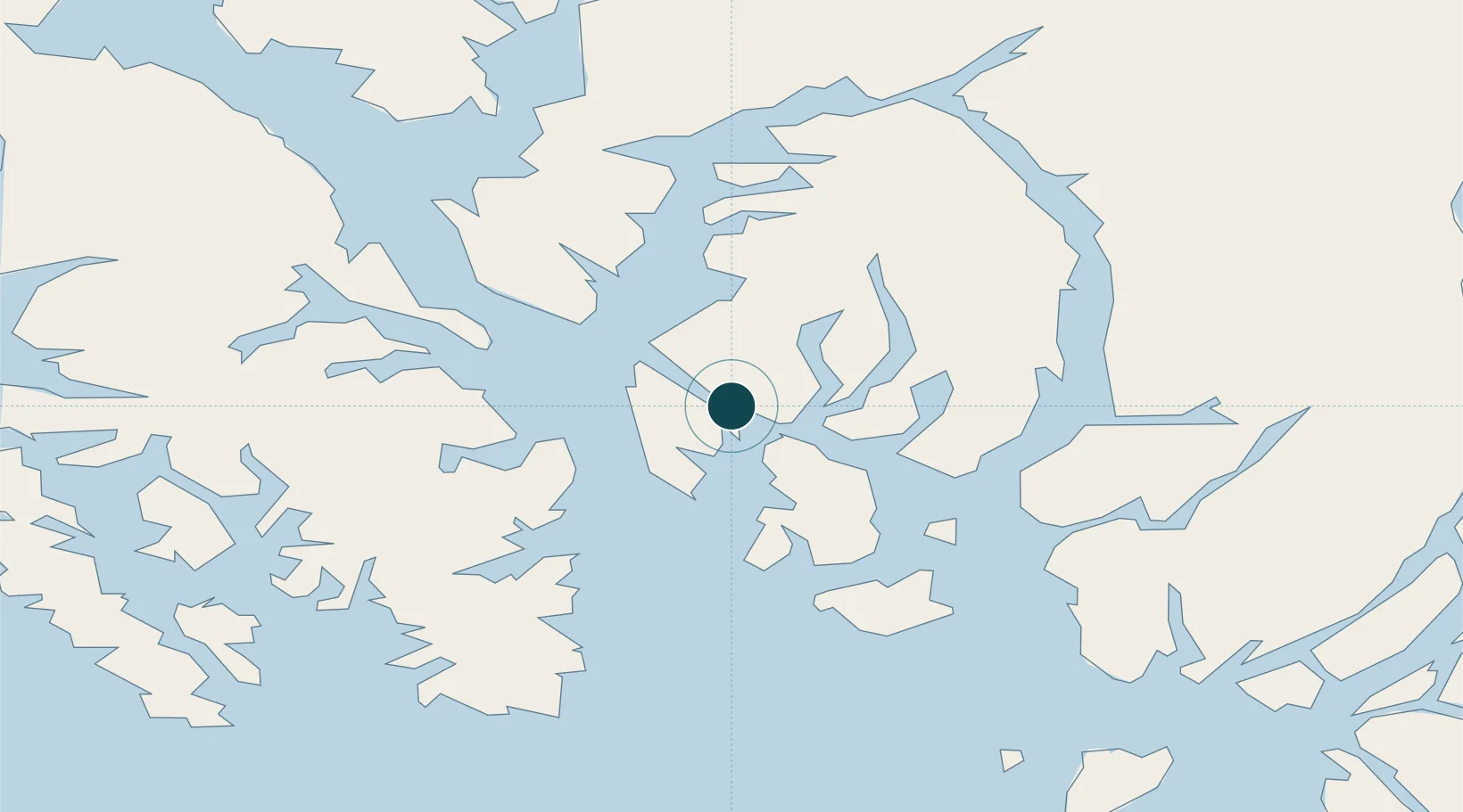
Location
Nearby Logistics Neighbours
Ports
- 1Ward Cove9 km
- 2Metlakatla23 km
- 3Loring30 km
- 4Kasaan52 km
- 5Hydaburg76 km
Cities
- 1Ward Cove9 km
- 2Metlakatla23 km
- 3Neets Bay50 km
- 4Prince Rupert143 km
- 5Queen Charlotte233 km
Airports
Trade Zones
- 1PrInce George Logistics Park594 km
- 2FTZ Vancouver Island890 km
- 3FTZ No. 128 Whatcom County954 km
- 4FTZ No. 129 Bellingham960 km
- 5FTZ No. 173 Grays Harbor1040 km
DatabookThe Record of Consolidated Knowledge
United States beyond logistics?