UN/LOCODE hub · United States
USMTM

Metlakatla

55.1275°, -131.5710°
1,405
Population
2
Transport functions

Transport Functions

Port
Airport
Metlakatla is also a profiled seaport →
UN/LOCODE

Hub Profile

Place type
Populated place
GeoNames
Region
Alaska
GeoNames
Population
1,405
GeoNames
Time zone
America/Metlakatla
GeoNames
Elevation
1 m
GeoNames
Logistics facilities
1
UN/LOCODE

Location

Location of USMTM
Natural Earth 10m (public domain) · Alaska · USMTM · 55.13, -131.57GoogleOSMYandex

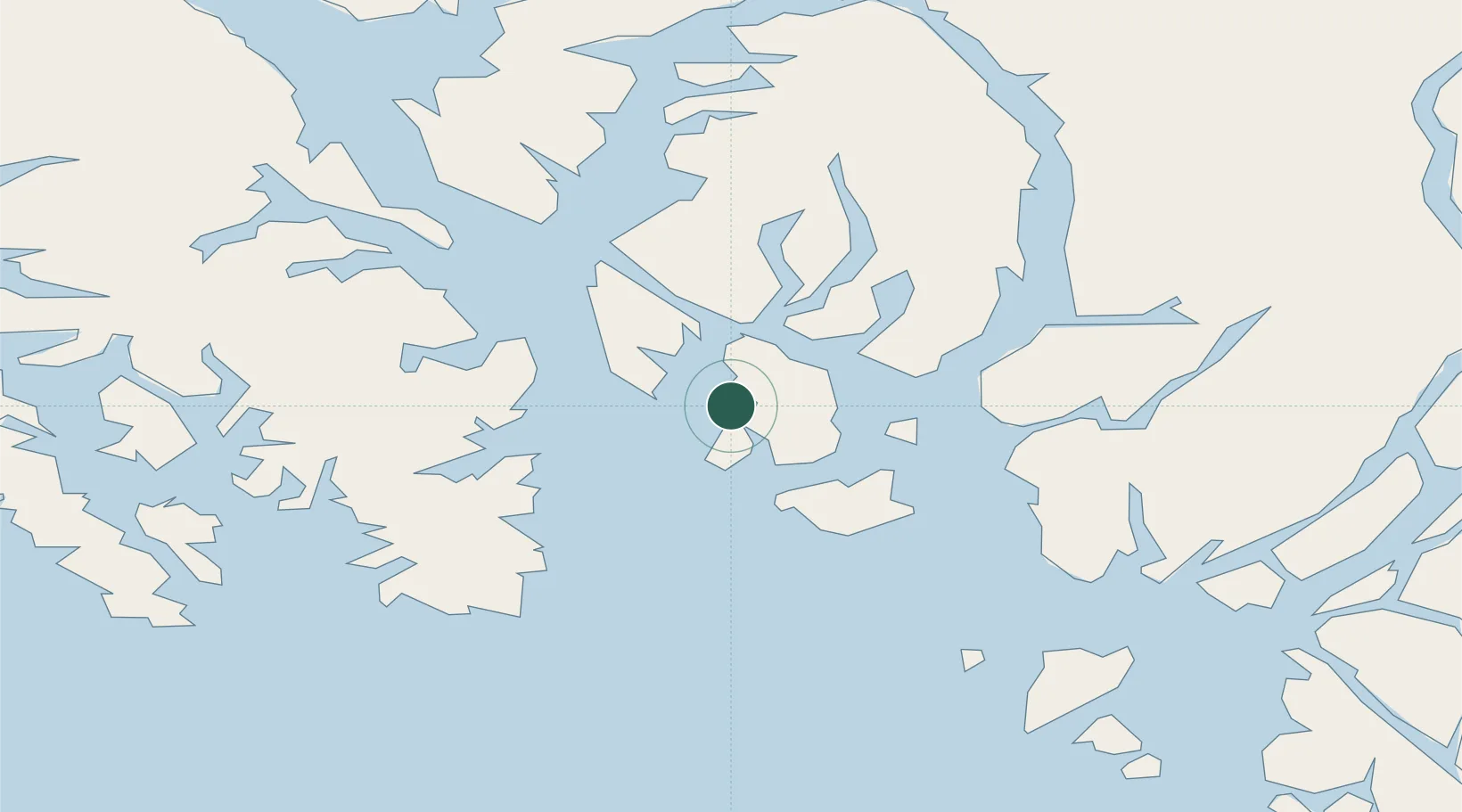
Nearby Logistics Neighbours

Cities
  1. 1Ketchikan26 km
  2. 2Ward Cove32 km
  3. 3Neets Bay73 km
  4. 4Prince Rupert122 km
  5. 5Queen Charlotte211 km
Nearest neighbours — logibook spatial index (haversine) over the source coordinates
Ports
  1. 1Ketchikan23 km
  2. 2Ward Cove32 km
  3. 3Loring53 km
  4. 4Kasaan69 km
  5. 5Hydaburg81 km
Nearest neighbours — logibook spatial index (haversine) over the source coordinates
Airports
  1. 1Metlakatla Seaplane Base1 km
  2. 2Annette Island Airport10 km
  3. 3Ketchikan Harbor Seaplane Base26 km
  4. 4Ketchikan International Airport27 km
  5. 5Kasaan Seaplane Base69 km
Nearest neighbours — logibook spatial index (haversine) over the source coordinates
Trade Zones
  1. 1PrInce George Logistics Park585 km
  2. 2FTZ Vancouver Island871 km
  3. 3FTZ No. 128 Whatcom County934 km
  4. 4FTZ No. 129 Bellingham940 km
  5. 5FTZ No. 173 Grays Harbor1018 km
Nearest neighbours — logibook spatial index (haversine) over the source coordinates
DatabookThe Record of Consolidated Knowledge
United States beyond logistics?
Browse databook

All Sources

LocationsUN/LOCODE
UN/LOCODE — free
LocationsGeoNames
CC BY 4.0
Portsthe NGA World Port Index
Public domain (US gov)
AirportsOurAirports
Public domain
Trade Zonesthe World Bank SEZ database
CC BY 4.0
Trade ZonesOpen Zone Map
CC BY
← United States locations