Seaplane base · United States

Ketchikan Harbor Seaplane Base5KE

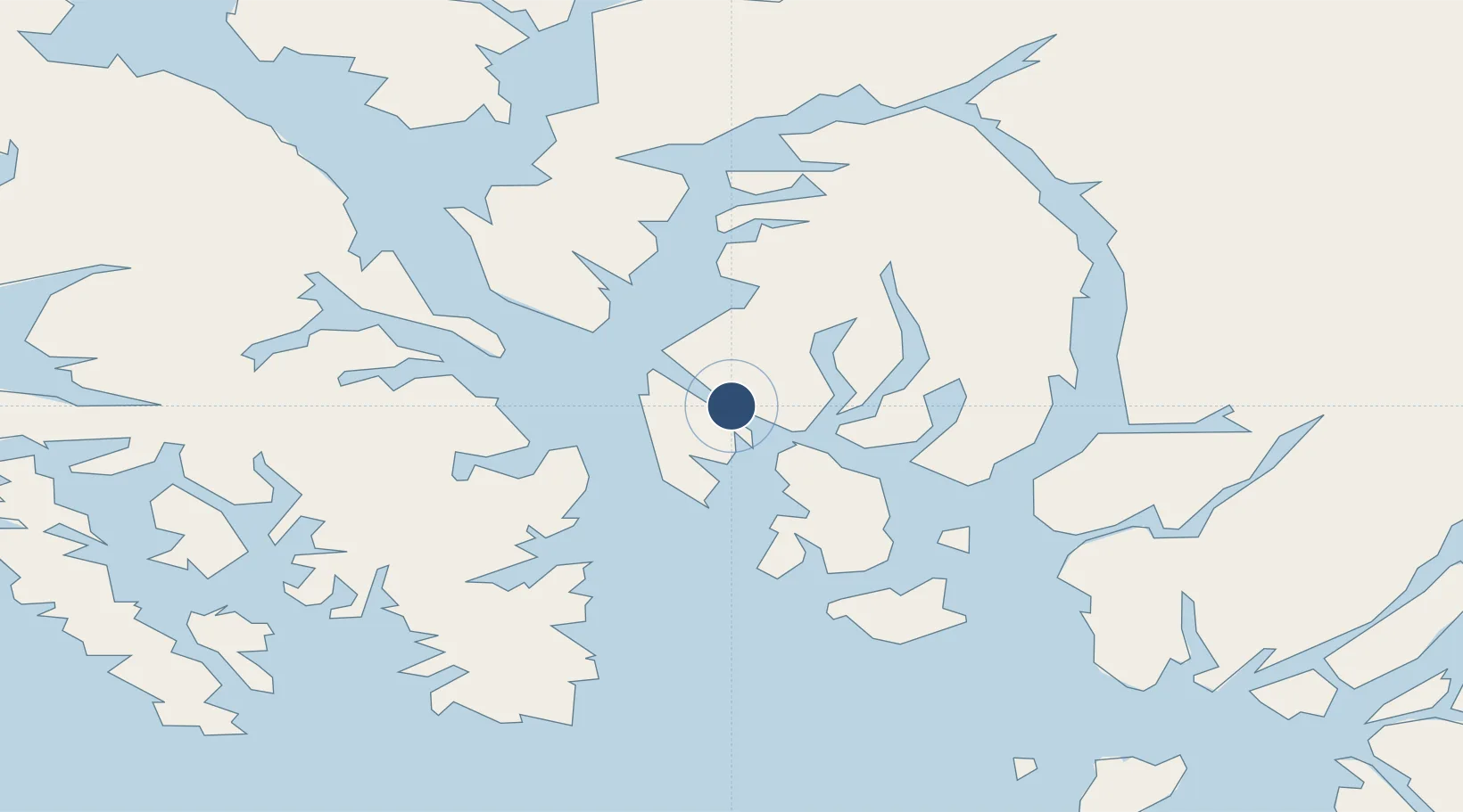
55.3499°, -131.6770°
3,893 ft
Longest runway
1
Runways

Runway & Layout

Ketchikan Harbor Seaplane Base runway & taxiway layout
Runway & taxiway layout — OpenStreetMap (ODbL) / OurAirports

Runways · 1

RunwayDimensions SurfaceTrue headingLit
E/W 3,893 × 1000ft Water
OurAirports

Airport Specifications

IATA code
WFB
OurAirports
Airport class
Seaplane base
OurAirports
Scheduled service
Yes
OurAirports
Runway surface
Water
OurAirports
Served city
Ketchikan
OurAirports

Location

Location of 5KE
Natural Earth 10m (public domain) · British Columbia · 5KE · 55.35, -131.68GoogleOSMYandex

Nearby Logistics Neighbours

Airports
  1. 1Ketchikan International Airport2 km
  2. 2Metlakatla Seaplane Base25 km
  3. 3Annette Island Airport35 km
  4. 4Kasaan Seaplane Base50 km
  5. 5Hollis Clark Bay Seaplane Base63 km
Nearest neighbours — logibook spatial index (haversine) over the source coordinates
Cities
  1. 1Ketchikan0 km
  2. 2Ward Cove6 km
  3. 3Metlakatla26 km
  4. 4Neets Bay48 km
  5. 5Prince Rupert145 km
Nearest neighbours — logibook spatial index (haversine) over the source coordinates
Ports
  1. 1Ketchikan3 km
  2. 2Ward Cove7 km
  3. 3Metlakatla25 km
  4. 4Loring28 km
  5. 5Kasaan50 km
Nearest neighbours — logibook spatial index (haversine) over the source coordinates
Trade Zones
  1. 1PrInce George Logistics Park596 km
  2. 2FTZ Vancouver Island893 km
  3. 3FTZ No. 128 Whatcom County956 km
  4. 4FTZ No. 129 Bellingham962 km
  5. 5FTZ No. 173 Grays Harbor1042 km
Nearest neighbours — logibook spatial index (haversine) over the source coordinates
DatabookThe Record of Consolidated Knowledge
United States beyond logistics?
Browse databook

All Sources

AirportsOurAirports
Public domain
Portsthe NGA World Port Index
Public domain (US gov)
LocationsUN/LOCODE
UN/LOCODE — free
Trade Zonesthe World Bank SEZ database
CC BY 4.0
Trade ZonesOpen Zone Map
CC BY
← United States airports