Transport Functions
Port
Road
Hub Profile
Region
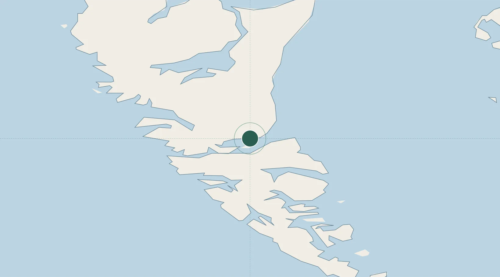
BC
Location
Nearby Logistics Neighbours
Cities
- 1Harriet Harbour115 km
- 2Prince Rupert161 km
- 3Metlakatla211 km
- 4Falkenberg225 km
- 5Ketchikan235 km
Ports
- 1Port Clements49 km
- 2Masset Harbor85 km
- 3Prince Rupert164 km
- 4Port Simpson181 km
- 5Metlakatla212 km
Airports
- 1Sandspit Airport17 km
- 2Masset Airport87 km
- 3Prince Rupert Airport157 km
- 4Annette Island Airport201 km
- 5Metlakatla Seaplane Base212 km
Trade Zones
- 1PrInce George Logistics Park619 km
- 2FTZ Vancouver Island765 km
- 3FTZ No. 128 Whatcom County827 km
- 4FTZ No. 129 Bellingham833 km
- 5FTZ No. 173 Grays Harbor871 km
DatabookThe Record of Consolidated Knowledge
Canada beyond logistics?