Seaplane base · United States

Metlakatla Seaplane BasePAMM

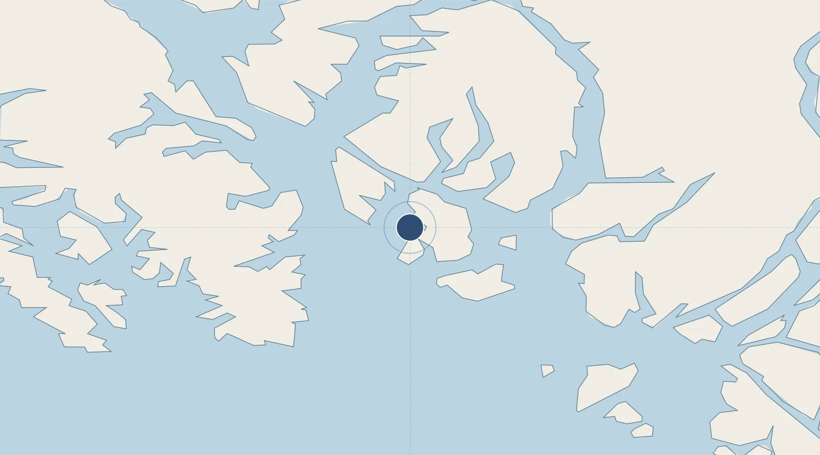
55.1310°, -131.5780°
5,000 ft
Longest runway
2
Runways

Runway & Layout

Runways · 2

RunwayDimensions SurfaceTrue headingLit
E/W 5,000 × 5000ft Water
N/S 5,000 × 5000ft Water
OurAirports

Airport Specifications

IATA code
MTM
OurAirports
ICAO code
PAMM
OurAirports
Airport class
Seaplane base
OurAirports
Scheduled service
Yes
OurAirports
Runway surface
Water
OurAirports
Served city
Metlakatla
OurAirports

Location

Location of PAMM
Natural Earth 10m (public domain) · British Columbia · PAMM · 55.13, -131.58GoogleOSMYandex

Nearby Logistics Neighbours

Airports
  1. 1Annette Island Airport10 km
  2. 2Ketchikan Harbor Seaplane Base25 km
  3. 3Ketchikan International Airport26 km
  4. 4Kasaan Seaplane Base69 km
  5. 5Hollis Clark Bay Seaplane Base78 km
Nearest neighbours — logibook spatial index (haversine) over the source coordinates
Cities
  1. 1Metlakatla1 km
  2. 2Ketchikan25 km
  3. 3Ward Cove31 km
  4. 4Neets Bay73 km
  5. 5Prince Rupert122 km
Nearest neighbours — logibook spatial index (haversine) over the source coordinates
Ports
  1. 1Metlakatla1 km
  2. 2Ketchikan23 km
  3. 3Ward Cove32 km
  4. 4Loring52 km
  5. 5Kasaan69 km
Nearest neighbours — logibook spatial index (haversine) over the source coordinates
Trade Zones
  1. 1PrInce George Logistics Park585 km
  2. 2FTZ Vancouver Island871 km
  3. 3FTZ No. 128 Whatcom County935 km
  4. 4FTZ No. 129 Bellingham941 km
  5. 5FTZ No. 173 Grays Harbor1018 km
Nearest neighbours — logibook spatial index (haversine) over the source coordinates
DatabookThe Record of Consolidated Knowledge
United States beyond logistics?
Browse databook

All Sources

AirportsOurAirports
Public domain
Portsthe NGA World Port Index
Public domain (US gov)
LocationsUN/LOCODE
UN/LOCODE — free
Trade Zonesthe World Bank SEZ database
CC BY 4.0
Trade ZonesOpen Zone Map
CC BY
← United States airports