Medium airport · United States

Annette Island AirportPANT

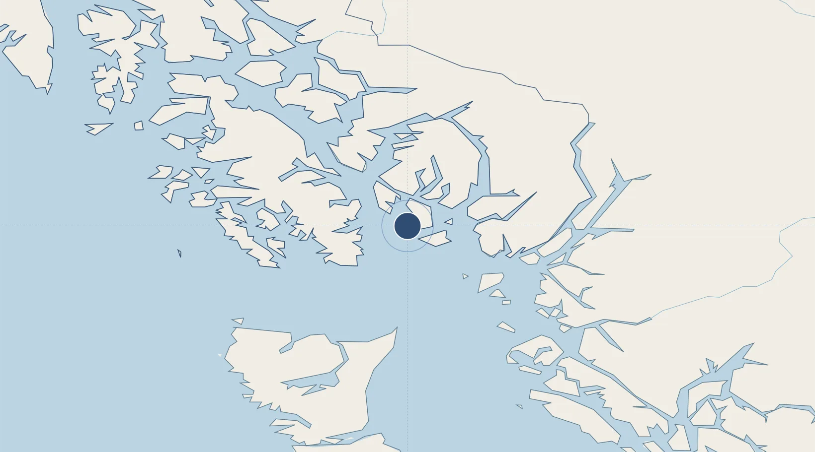
55.0377°, -131.5726°
7,493 ft
Longest runway
2
Runways
119 ft
Elevation

Runway & Layout

Annette Island Airport runway & taxiway layout
Runway & taxiway layout — OpenStreetMap (ODbL) / OurAirports

Radio Frequencies

ASOS
135.75 MHz
CTAF
122.9 MHz
FSS
122.4 MHz
KETCHIKAN RDO
OurAirports

Navaids

ANN VOR-DME Annette Island 117.10 MHz
ICK NDB Nichols 266 kHz
OurAirports

Runways · 2

RunwayDimensions SurfaceTrue headingLit
12/30 7,493 × 150ft Asphalt 148°
02/20 5,709 × 150ft Gravel 047°
OurAirports

Airport Specifications

IATA code
ANN
OurAirports
ICAO code
PANT
OurAirports
Airport class
Medium airport
OurAirports
Scheduled service
No
OurAirports
Runway surface
Asphalt
OurAirports
Served city
Metlakatla
OurAirports

Location

Location of PANT
Natural Earth 10m (public domain) · Alaska · PANT · 55.04, -131.57GoogleOSMYandex

Nearby Logistics Neighbours

Airports
  1. 1Metlakatla Seaplane Base10 km
  2. 2Ketchikan Harbor Seaplane Base35 km
  3. 3Ketchikan International Airport37 km
  4. 4Kasaan Seaplane Base76 km
  5. 5Hydaburg Seaplane Base82 km
Nearest neighbours — logibook spatial index (haversine) over the source coordinates
Cities
  1. 1Metlakatla10 km
  2. 2Ketchikan35 km
  3. 3Ward Cove41 km
  4. 4Neets Bay83 km
  5. 5Prince Rupert114 km
Nearest neighbours — logibook spatial index (haversine) over the source coordinates
Ports
  1. 1Metlakatla11 km
  2. 2Ketchikan33 km
  3. 3Ward Cove42 km
  4. 4Loring63 km
  5. 5Kasaan76 km
Nearest neighbours — logibook spatial index (haversine) over the source coordinates
Trade Zones
  1. 1PrInce George Logistics Park583 km
  2. 2FTZ Vancouver Island864 km
  3. 3FTZ No. 128 Whatcom County927 km
  4. 4FTZ No. 129 Bellingham933 km
  5. 5FTZ No. 173 Grays Harbor1009 km
Nearest neighbours — logibook spatial index (haversine) over the source coordinates
DatabookThe Record of Consolidated Knowledge
United States beyond logistics?
Browse databook

All Sources

AirportsOurAirports
Public domain
Portsthe NGA World Port Index
Public domain (US gov)
LocationsUN/LOCODE
UN/LOCODE — free
Trade Zonesthe World Bank SEZ database
CC BY 4.0
Trade ZonesOpen Zone Map
CC BY
InfrastructureOpenStreetMap
ODbL 1.0
← United States airports