Channel & Berth Profile
Pilotage, Tugs & Services
Pilotage availableYES
Facilities & Capabilities
Container—
Ro-Ro—
Liquid bulk—
Dry bulk—
Oil terminal—
Break bulk—
Dry dock—
Repairs—
Bunkering—
Rail link—
Dangerous cargo—
ISPS security—
Harbour Specifications
Harbour size
Very Small
Harbour type
Coastal (Natural)
Shelter
Fair
Water body
Alaska-Canada coastal waters; North Pacific Ocean
Tidal range
4 m
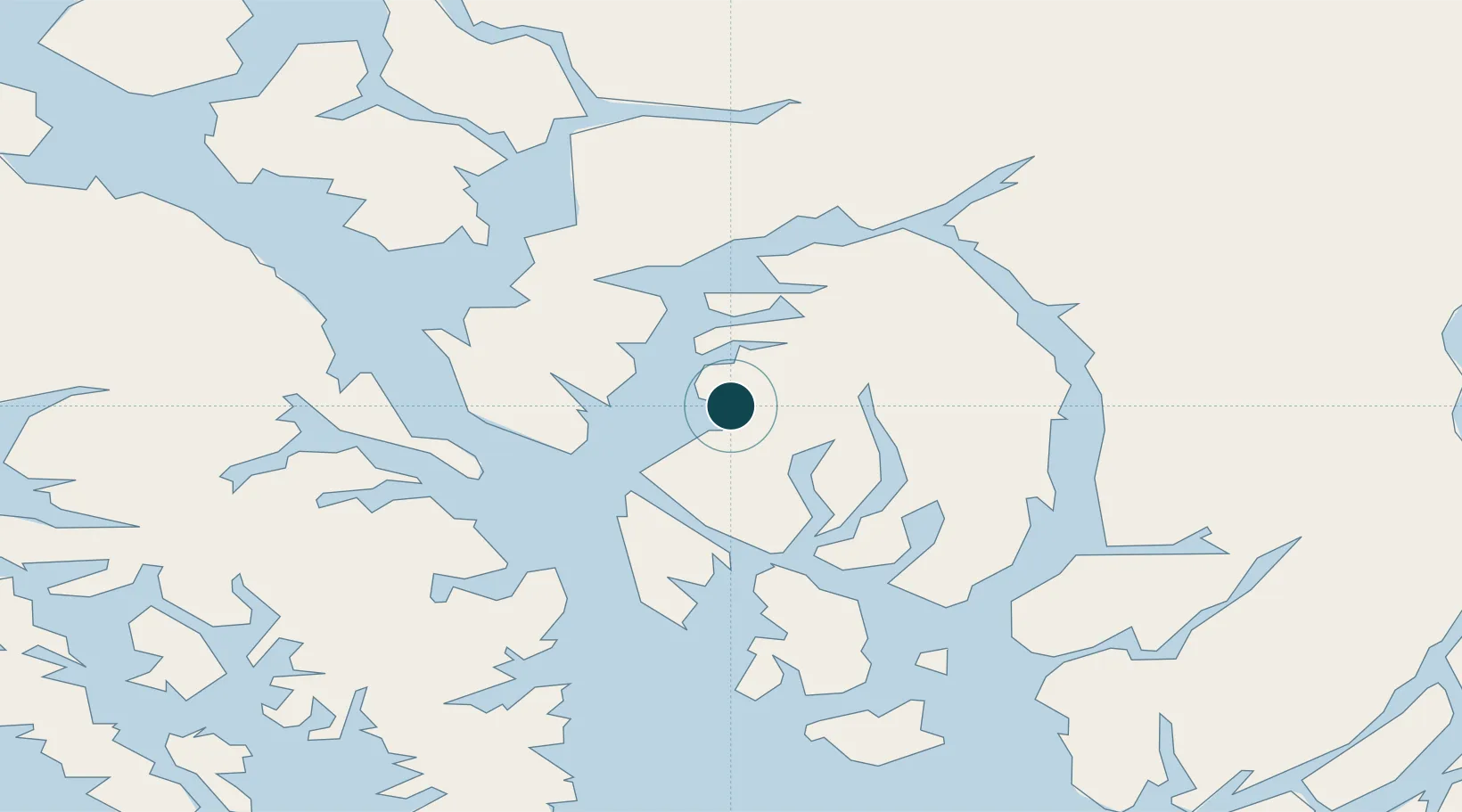
Location
Nearby Logistics Neighbours
Ports
- 1Ward Cove23 km
- 2Ketchikan30 km
- 3Kasaan49 km
- 4Metlakatla52 km
- 5Hydaburg88 km
Cities
- 1Neets Bay21 km
- 2Ward Cove23 km
- 3Ketchikan28 km
- 4Metlakatla53 km
- 5Prince Rupert167 km
Airports
Trade Zones
- 1PrInce George Logistics Park599 km
- 2FTZ Vancouver Island911 km
- 3FTZ No. 128 Whatcom County974 km
- 4FTZ No. 129 Bellingham981 km
- 5FTZ No. 085 Everett1062 km
DatabookThe Record of Consolidated Knowledge
United States beyond logistics?