UN/LOCODE hub · Canada
CAPRR
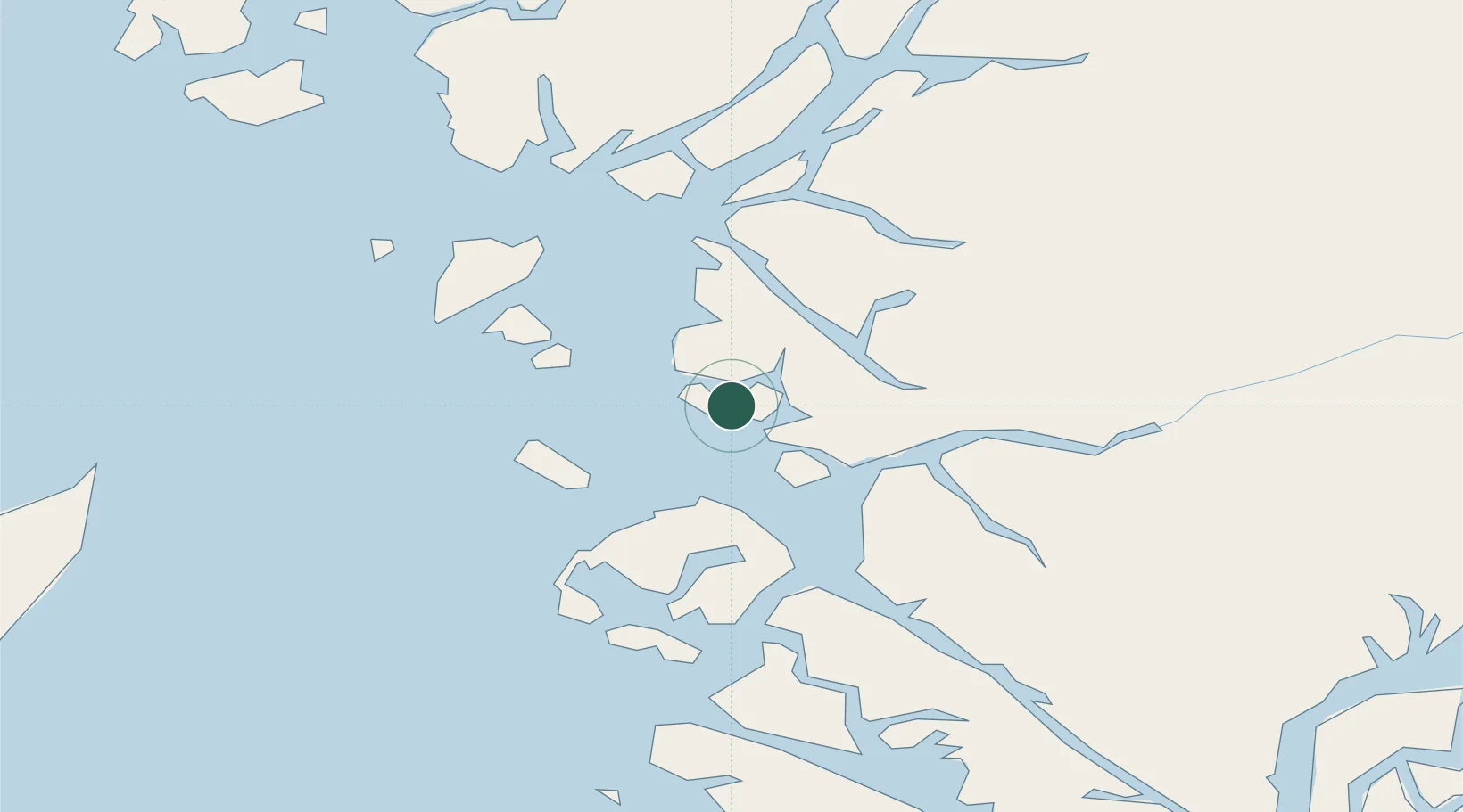
Prince Rupert
54.2858°, -130.3592°
14,708
Population
2
Transport functions
1
Container terminals
Transport Functions
Port
Airport
Hub Profile
Place type
Populated place
Region
British Columbia
Population
14,708
Time zone
America/Vancouver
Elevation
26 m
Logistics facilities
3
Container terminals
1
Location
Nearby Logistics Neighbours
Cities
- 1Metlakatla122 km
- 2Ketchikan145 km
- 3Ward Cove151 km
- 4Queen Charlotte161 km
- 5Neets Bay184 km
Ports
- 1Port Simpson32 km
- 2Kitimat114 km
- 3Masset Harbor120 km
- 4Metlakatla122 km
- 5Port Clements137 km
Airports
- 1Prince Rupert Airport6 km
- 2Annette Island Airport114 km
- 3Northwest Regional Airport Terrace-Kitimat117 km
- 4Masset Airport119 km
- 5Metlakatla Seaplane Base122 km
Trade Zones
- 1PrInce George Logistics Park498 km
- 2FTZ Vancouver Island749 km
- 3FTZ No. 128 Whatcom County813 km
- 4FTZ No. 129 Bellingham819 km
- 5FTZ No. 173 Grays Harbor897 km
DatabookThe Record of Consolidated Knowledge
Canada beyond logistics?