Seaport · United States

CheboyganUSSHG

45.6500°, -84.4667°
6.4 m
Channel depth

Channel & Berth Profile

SEA LEVEL (CD)CHANNEL BEDAnchorage · 4.9 mChannel · 6.4 mCargo pier · 6.4 mOil terminal · 6.4 m
NGA World Port Index

Pilotage, Tugs & Services

Pilotage compulsoryYES
Potable waterYES
Diesel bunkersYES
MedicalYES
NGA World Port Index

Facilities & Capabilities

Container
Ro-Ro
Liquid bulk
Dry bulk
Oil terminal
Break bulk
Dry dock
RepairsNO
BunkeringYES
Rail link
Dangerous cargo
ISPS security
NGA World Port Index

Harbour Specifications
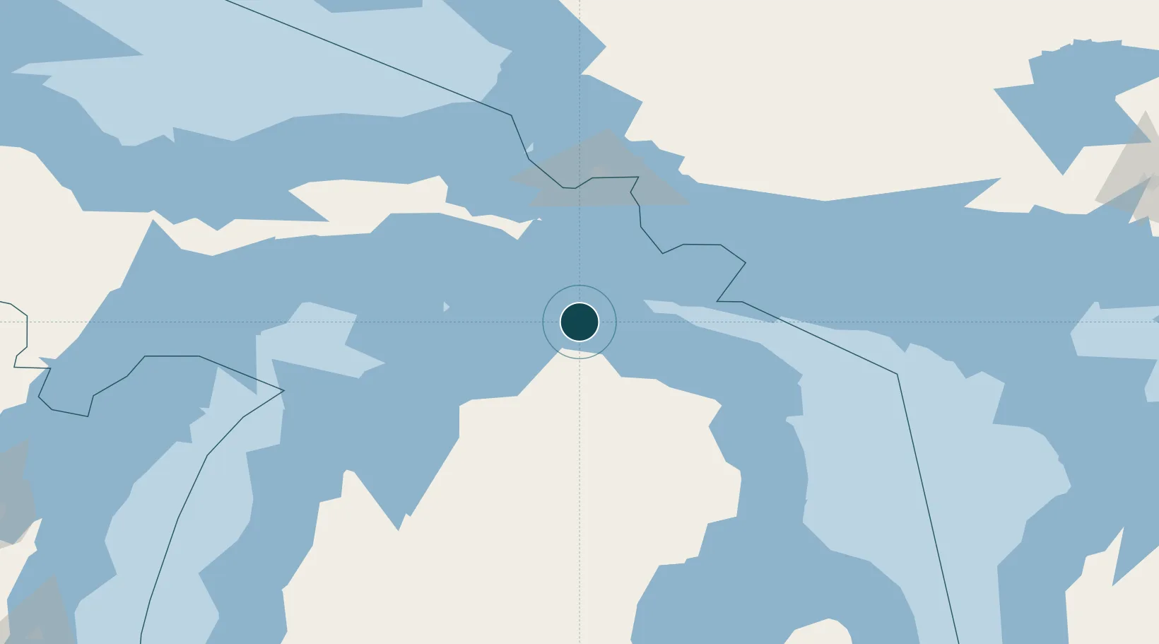
Harbour size
Small
NGA World Port Index
Harbour type
River (Natural)
NGA World Port Index
Shelter
Excellent
NGA World Port Index
Water body
Lake Huron; Great Lakes
NGA World Port Index
Pilotage
Yes
NGA World Port Index

Location

Location of USSHG
Natural Earth 10m (public domain) · Michigan · USSHG · 45.65, -84.47GoogleOSMYandex

Nearby Logistics Neighbours

Ports
  1. 1Mackinaw City24 km
  2. 2Mackinac Island25 km
  3. 3Harbor Springs47 km
  4. 4Petoskey50 km
  5. 5Rogers City55 km
Nearest neighbours — logibook spatial index (haversine) over the source coordinates
Cities
  1. 1Pellston27 km
  2. 2Alanson35 km
  3. 3Onaway39 km
  4. 4Conway41 km
  5. 5Harbor Springs47 km
Nearest neighbours — logibook spatial index (haversine) over the source coordinates
Airports
  1. 1Pellston Regional Airport of Emmet County Airport27 km
  2. 2Chippewa County International Airport66 km
  3. 3Charlevoix Municipal Airport74 km
  4. 4Welke Airport82 km
  5. 5Beaver Island Airport86 km
Nearest neighbours — logibook spatial index (haversine) over the source coordinates
Trade Zones
  1. 1FTZ No. 016 Sault Ste. Marie93 km
  2. 2FTZ No. 284 Genesee County297 km
  3. 3FTZ No. 140 Flint299 km
  4. 4FTZ No. 101 Clinton County302 km
  5. 5FTZ No. 189 Kent Ottawa/Muskegon Counties305 km
Nearest neighbours — logibook spatial index (haversine) over the source coordinates
DatabookThe Record of Consolidated Knowledge
United States beyond logistics?
Browse databook

All Sources

Portsthe NGA World Port Index
Public domain (US gov)
AirportsOurAirports
Public domain
LocationsUN/LOCODE
UN/LOCODE — free
Trade Zonesthe World Bank SEZ database
CC BY 4.0
Trade ZonesOpen Zone Map
CC BY
← United States ports