Medium airport · United States

Chippewa County International AirportKCIU
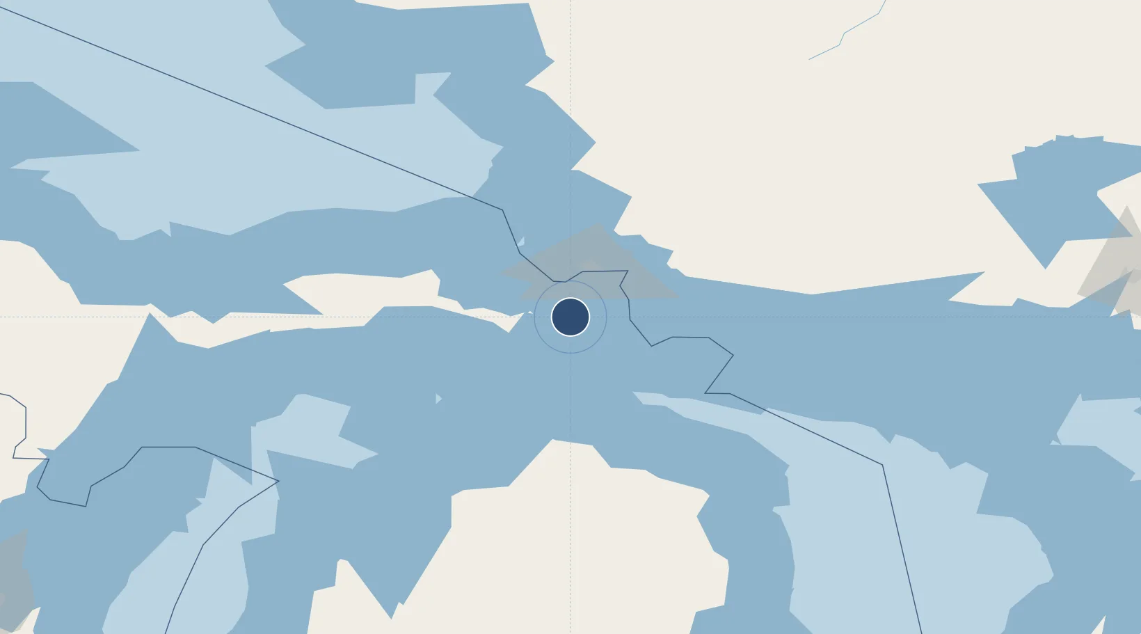
46.2420°, -84.4621°
7,203 ft
Longest runway
2
Runways
800 ft
Elevation

Runway & Layout

Chippewa County International Airport runway & taxiway layout
Runway & taxiway layout — OpenStreetMap (ODbL) / OurAirports

Radio Frequencies

AWOS
127.575 MHz
AWOS 3
CNTR
132.65 MHz
TORONTO CNTR
RDO
123.65 MHz
GREEN BAY RDO
UNIC
123 MHz
CTAF/UNICOM
OurAirports

Navaids

CI NDB Koloe 400 kHz
SSM VOR-DME Sault Ste Marie 112.20 MHz
OurAirports

Runways · 2

RunwayDimensions SurfaceTrue headingLit
16/34 7,203 × 150ft Concrete 150°
09/27 5,000 × 75ft Asphalt 090°
OurAirports

Airport Specifications

IATA code
CIU
OurAirports
ICAO code
KCIU
OurAirports
Airport class
Medium airport
OurAirports
Scheduled service
Yes
OurAirports
Runway surface
Concrete
OurAirports
Served city
Kincheloe
OurAirports

Location

Location of KCIU
Natural Earth 10m (public domain) · Michigan · KCIU · 46.24, -84.46GoogleOSMYandex

Nearby Logistics Neighbours

Airports
  1. 1Sault Ste Marie Airport27 km
  2. 2Pellston Regional Airport of Emmet County Airport79 km
  3. 3Welke Airport100 km
  4. 4Beaver Island Airport105 km
  5. 5Charlevoix Municipal Airport122 km
Nearest neighbours — logibook spatial index (haversine) over the source coordinates
Cities
  1. 1Kinross5 km
  2. 2Rudyard11 km
  3. 3Brimley19 km
  4. 4Echo Bay41 km
  5. 5Brevort51 km
Nearest neighbours — logibook spatial index (haversine) over the source coordinates
Ports
  1. 1Sault Ste Marie30 km
  2. 2Sault Ste Marie32 km
  3. 3Mackinac Island45 km
  4. 4Bruce Mines52 km
  5. 5Mackinaw City55 km
Nearest neighbours — logibook spatial index (haversine) over the source coordinates
Trade Zones
  1. 1FTZ No. 016 Sault Ste. Marie27 km
  2. 2FTZ No. 167 Brown County359 km
  3. 3FTZ No. 284 Genesee County362 km
  4. 4FTZ No. 140 Flint363 km
  5. 5FTZ No. 189 Kent Ottawa/Muskegon Counties364 km
Nearest neighbours — logibook spatial index (haversine) over the source coordinates
DatabookThe Record of Consolidated Knowledge
United States beyond logistics?
Browse databook

All Sources

AirportsOurAirports
Public domain
Portsthe NGA World Port Index
Public domain (US gov)
LocationsUN/LOCODE
UN/LOCODE — free
Trade Zonesthe World Bank SEZ database
CC BY 4.0
Trade ZonesOpen Zone Map
CC BY
InfrastructureOpenStreetMap
ODbL 1.0
← United States airports