UN/LOCODE hub · United States
USDT4
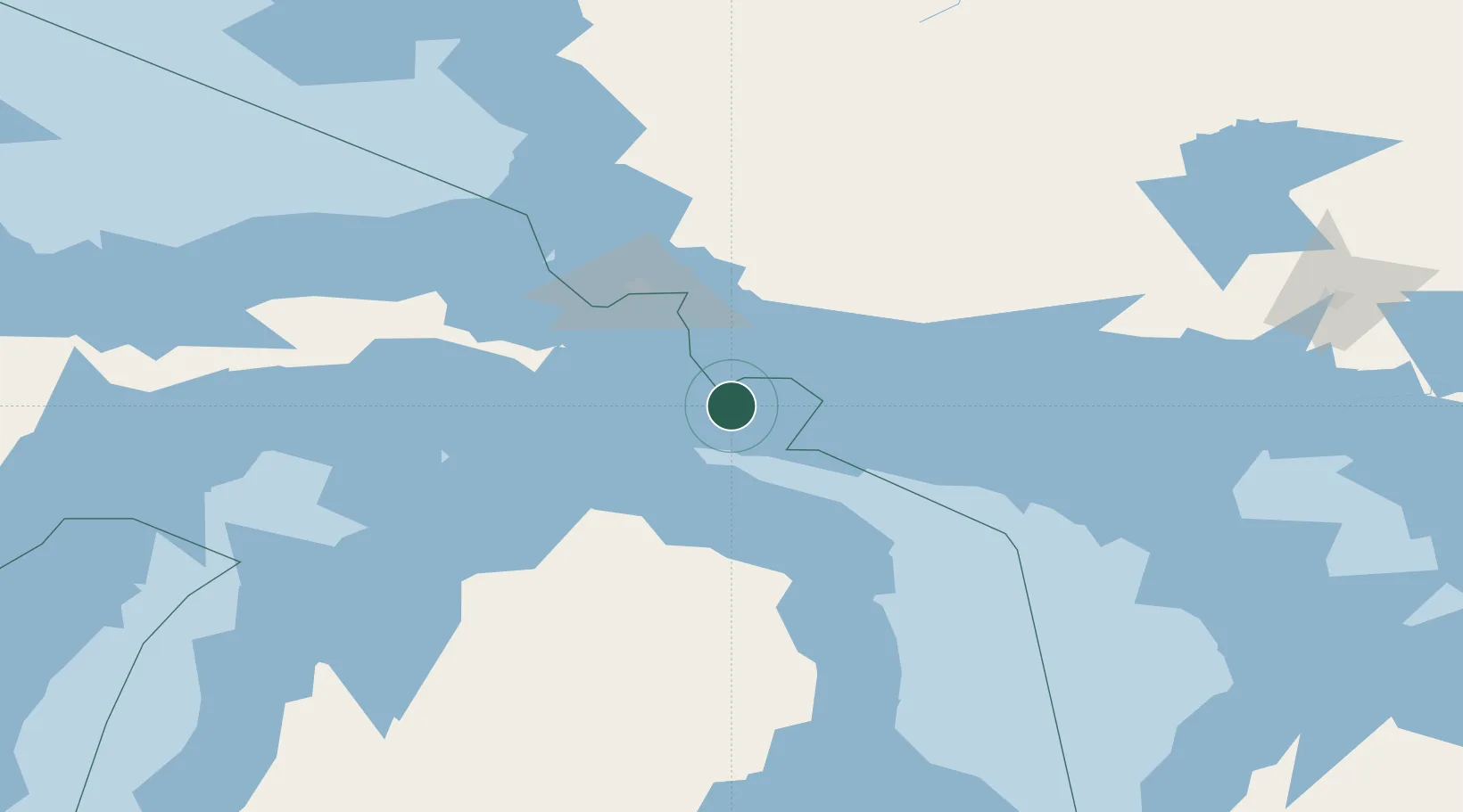
De Tour Village
45.9833°, -83.9000°
321
Population
3
Transport functions
Transport Functions
Port
Road
Multimodal
Hub Profile
Place type
Populated place
Region
Michigan
Population
321
Time zone
America/Detroit
Elevation
183 m
Location
Nearby Logistics Neighbours
Ports
- 1Bruce Mines35 km
- 2Thessalon39 km
- 3Mackinac Island57 km
- 4Cheboygan58 km
- 5Rogers City60 km
Airports
Trade Zones
DatabookThe Record of Consolidated Knowledge
United States beyond logistics?