Channel & Berth Profile
Pilotage, Tugs & Services
Potable waterYES
Diesel bunkersNO
MedicalYES
Garbage disposalNO
Facilities & Capabilities
Container—
Ro-Ro—
Liquid bulk—
Dry bulk—
Oil terminal—
Break bulk—
Dry dock—
Repairs—
BunkeringNO
Rail link—
Dangerous cargo—
ISPS security—
Harbour Specifications
Harbour size
Very Small
Harbour type
Coastal (Breakwater)
Shelter
Good
Water body
North Pacific Ocean
Tidal range
0.3 m
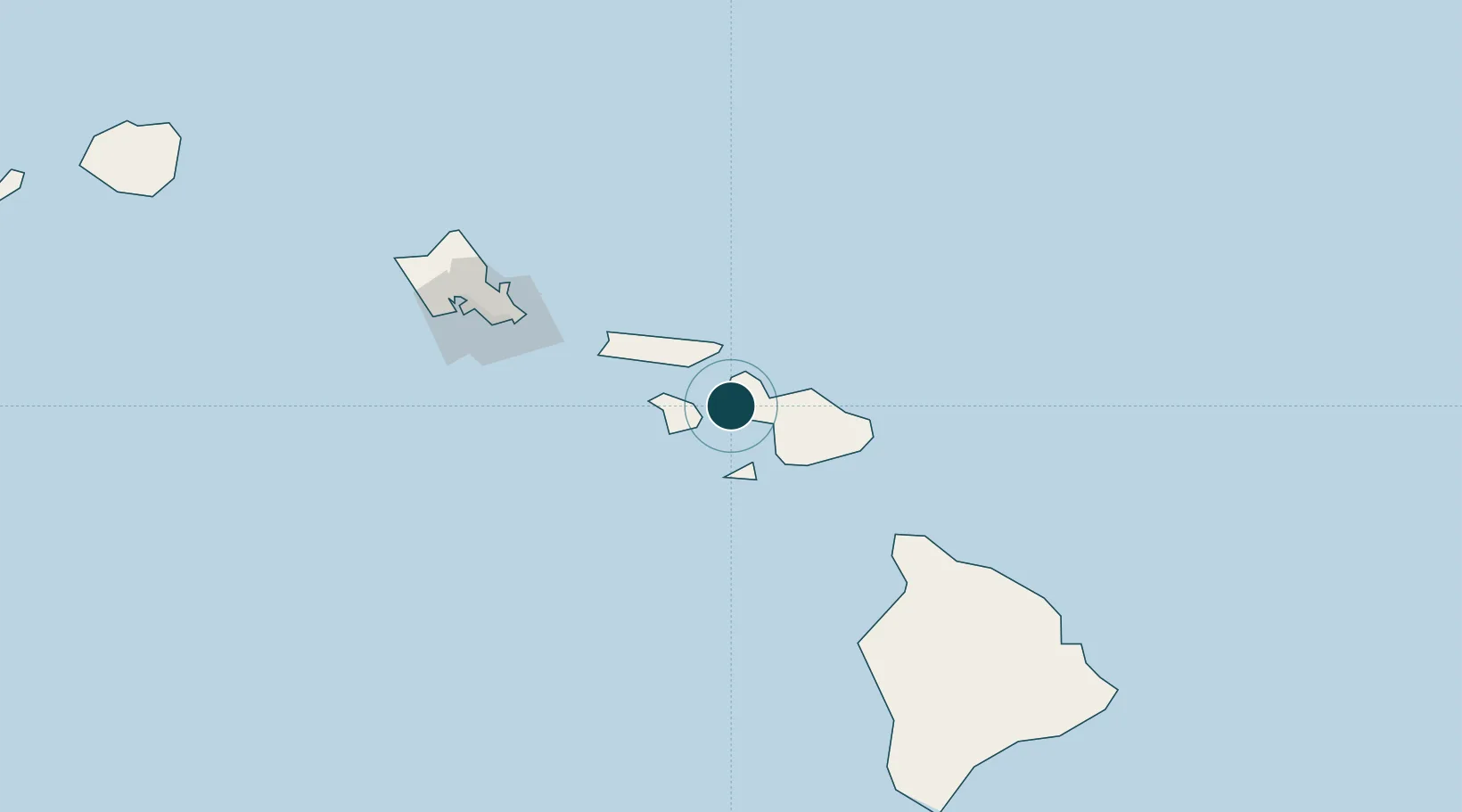
Location
Nearby Logistics Neighbours
Ports
- 1Kahului21 km
- 2Kaunakakai45 km
- 3Hana72 km
- 4Kawaihae127 km
- 5Honolulu134 km
Cities
- 1Kahului21 km
- 2Kihei24 km
- 3Haiku37 km
- 4Ulupalakua38 km
- 5Kailua126 km
Airports
- 1Kapalua Airport11 km
- 2Kahului International Airport25 km
- 3Manele Heliport29 km
- 4Lanai Airport31 km
- 5Kalaupapa Airport50 km
Trade Zones
- 1FTZ No. 009 Honolulu133 km
- 2FTZ No. 248 Eureka3778 km
- 3FTZ No. 003 San Francisco3787 km
- 4FTZ No. 056 Oakland3798 km
- 5FTZ No. 132 Coos County3907 km
DatabookThe Record of Consolidated Knowledge
United States beyond logistics?