UN/LOCODE hub · United States
USKA7
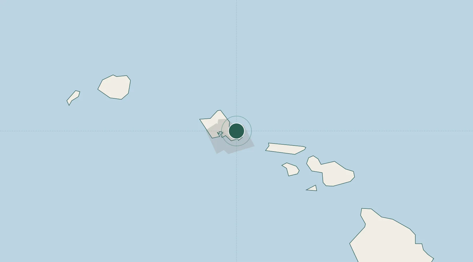
Kailua
21.4000°, -157.7333°
38,635
Population
1
Transport functions
Transport Functions
Port
Hub Profile
Place type
Populated place
Region
Hawaii
Population
38,635
Time zone
Pacific/Honolulu
Elevation
10 m
Location
Nearby Logistics Neighbours
Cities
- 1Honolulu18 km
- 2Mililani Town35 km
- 3Kapolei37 km
- 4Kahuku37 km
- 5Haleiwa43 km
Ports
- 1Honolulu18 km
- 2Barber's Point41 km
- 3Kaunakakai81 km
- 4Lahaina126 km
- 5Kahului143 km
Airports
Trade Zones
- 1FTZ No. 009 Honolulu18 km
- 2FTZ No. 248 Eureka3819 km
- 3FTZ No. 003 San Francisco3840 km
- 4FTZ No. 056 Oakland3851 km
- 5FTZ No. 132 Coos County3939 km
DatabookThe Record of Consolidated Knowledge
United States beyond logistics?