UN/LOCODE hub · United States
USOGG
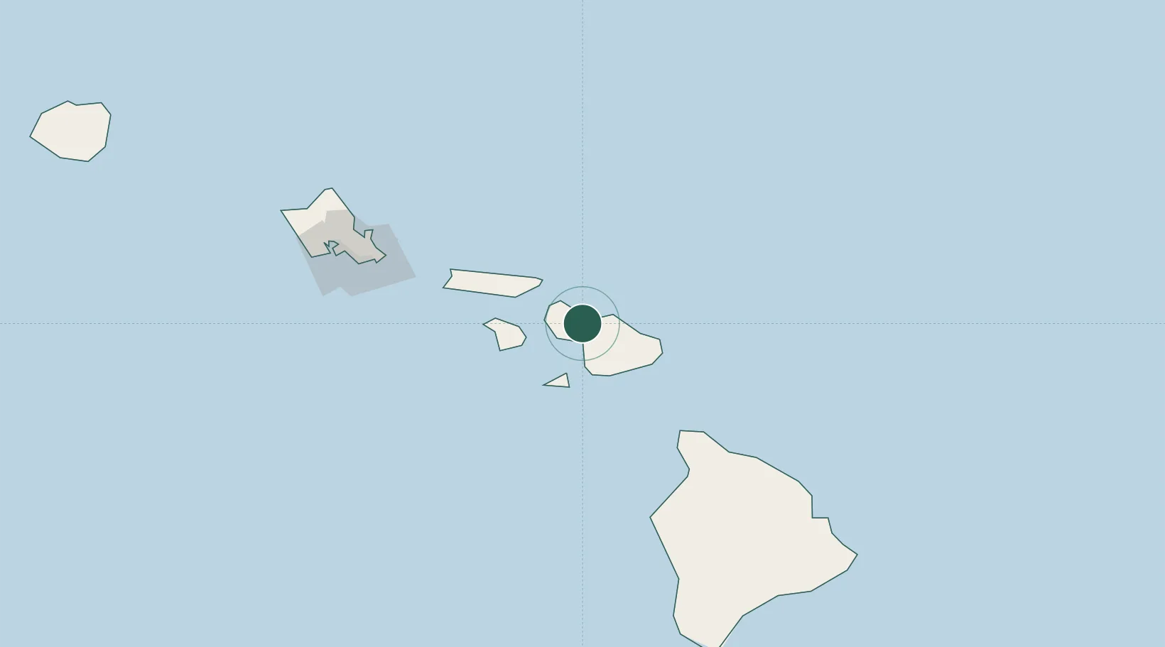
Kahului
20.8952°, -156.4656°
26,337
Population
3
Transport functions
Transport Functions
Port
Road
Airport
Hub Profile
Place type
Populated place
Region
Hawaii
Population
26,337
Time zone
Pacific/Honolulu
Elevation
0 m
Logistics facilities
3
Location
Nearby Logistics Neighbours
Cities
- 1Kihei13 km
- 2Haiku16 km
- 3Ulupalakua29 km
- 4Kailua143 km
- 5Honolulu155 km
Ports
- 1Lahaina21 km
- 2Hana53 km
- 3Kaunakakai63 km
- 4Kawaihae116 km
- 5Kailua149 km
Airports
- 1Kahului International Airport4 km
- 2Kapalua Airport23 km
- 3Hana Airport48 km
- 4Manele Heliport49 km
- 5Lanai Airport52 km
Trade Zones
- 1FTZ No. 009 Honolulu152 km
- 2FTZ No. 248 Eureka3761 km
- 3FTZ No. 003 San Francisco3769 km
- 4FTZ No. 056 Oakland3779 km
- 5FTZ No. 132 Coos County3890 km
DatabookThe Record of Consolidated Knowledge
United States beyond logistics?