Runway & Layout

Airport Specifications
ICAO code
HI02
Airport class
Heliport
Scheduled service
Yes
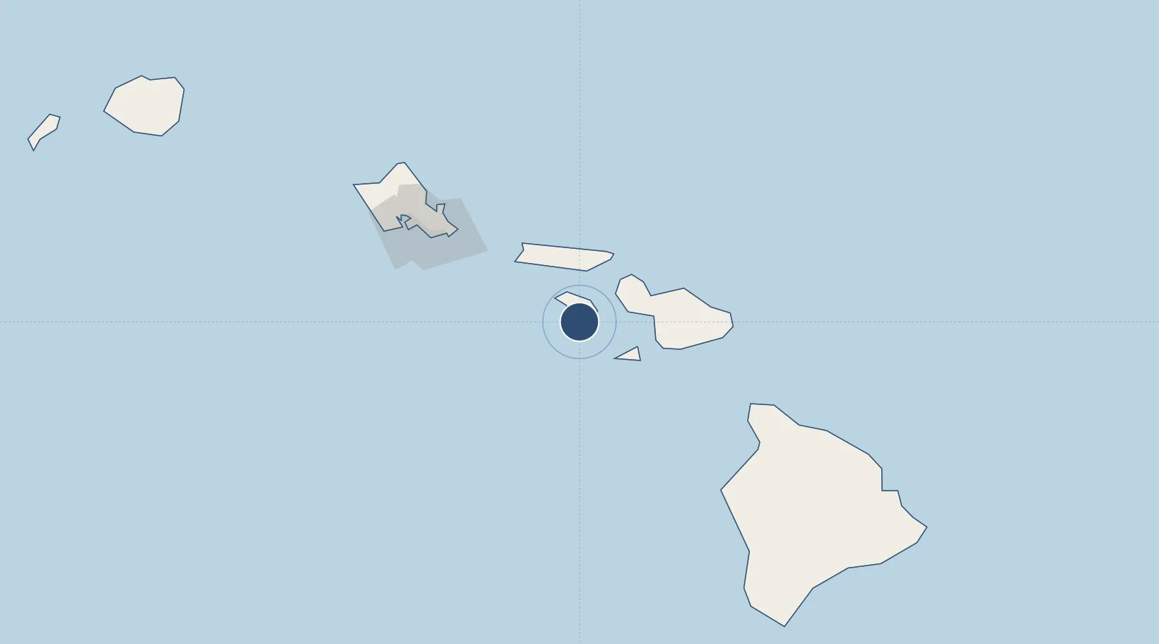
Served city
Lanai
Location
Nearby Logistics Neighbours
Airports
- 1Lanai Airport6 km
- 2Kapalua Airport35 km
- 3Molokai Airport49 km
- 4Kalaupapa Airport52 km
- 5Kahului International Airport53 km
Cities
- 1Kihei48 km
- 2Kahului49 km
- 3Ulupalakua56 km
- 4Haiku65 km
- 5Kailua112 km
Ports
- 1Lahaina29 km
- 2Kaunakakai40 km
- 3Kahului50 km
- 4Hana97 km
- 5Honolulu117 km
Trade Zones
- 1FTZ No. 009 Honolulu117 km
- 2FTZ No. 248 Eureka3806 km
- 3FTZ No. 003 San Francisco3816 km
- 4FTZ No. 056 Oakland3826 km
- 5FTZ No. 132 Coos County3934 km
DatabookThe Record of Consolidated Knowledge
United States beyond logistics?