Large airport · United States
Kahului International AirportPHOG
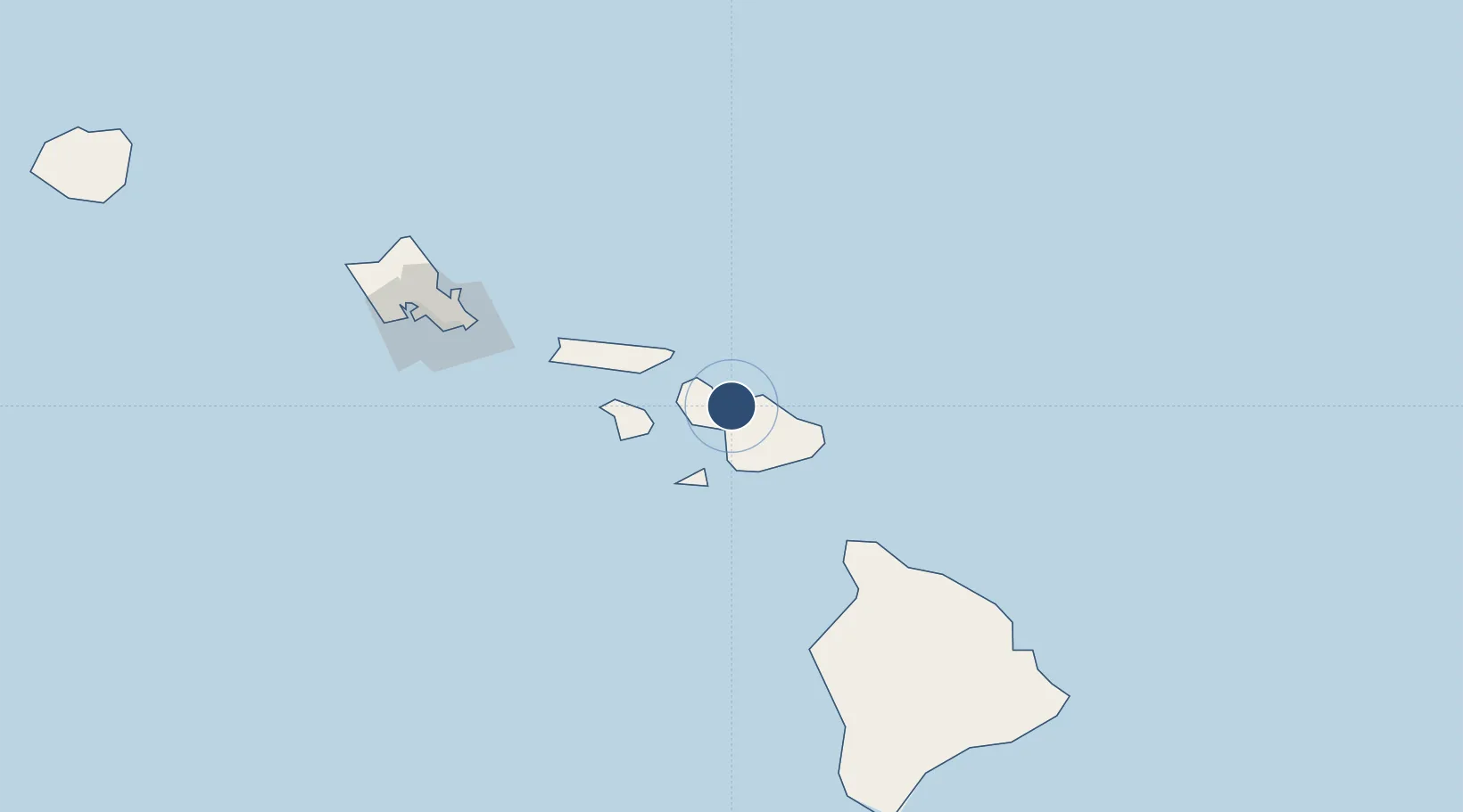
20.8963°, -156.4318°
6,998 ft
Longest runway
2
Runways
54 ft
Elevation
Runway & Layout

Radio Frequencies
ATIS
128.6 MHz
TWR
118.7 MHz
MAUI TWR
GND
121.9 MHz
CLD
120.6 MHz
MAUI CLNC DEL
CTAF
118.7 MHz
A/D
119.5 MHz
MAUI APP/DEP
RDO
123.6 MHz
MAUI RDO
UNIC
122.95 MHz
UNICOM
Navaids
OGG VORTAC Maui 115.10 MHz
VYI NDB Valley Island 327 kHz
Runways · 2
| Runway | Dimensions | Surface | True heading | Lit |
|---|---|---|---|---|
| 02/20 | 6,998 × 150ft | Asphalt | 035° | ✓ |
| 05/23 | 4,980 × 150ft | Asphalt | 056° | ✓ |
Airport Specifications
IATA code
OGG
ICAO code
PHOG
Airport class
Large airport
Scheduled service
Yes
Runway surface
Asphalt
Served city
Kahului
Location
Nearby Logistics Neighbours
Airports
- 1Kapalua Airport26 km
- 2Hana Airport45 km
- 3Manele Heliport53 km
- 4Lanai Airport55 km
- 5Kalaupapa Airport66 km
Cities
- 1Kahului4 km
- 2Haiku12 km
- 3Kihei13 km
- 4Ulupalakua28 km
- 5Kailua146 km
Ports
- 1Kahului4 km
- 2Lahaina25 km
- 3Hana49 km
- 4Kaunakakai66 km
- 5Kawaihae114 km
Trade Zones
- 1FTZ No. 009 Honolulu155 km
- 2FTZ No. 248 Eureka3758 km
- 3FTZ No. 003 San Francisco3766 km
- 4FTZ No. 056 Oakland3776 km
- 5FTZ No. 132 Coos County3888 km
DatabookThe Record of Consolidated Knowledge
United States beyond logistics?