Small airport · United States
Kalaupapa AirportPHLU
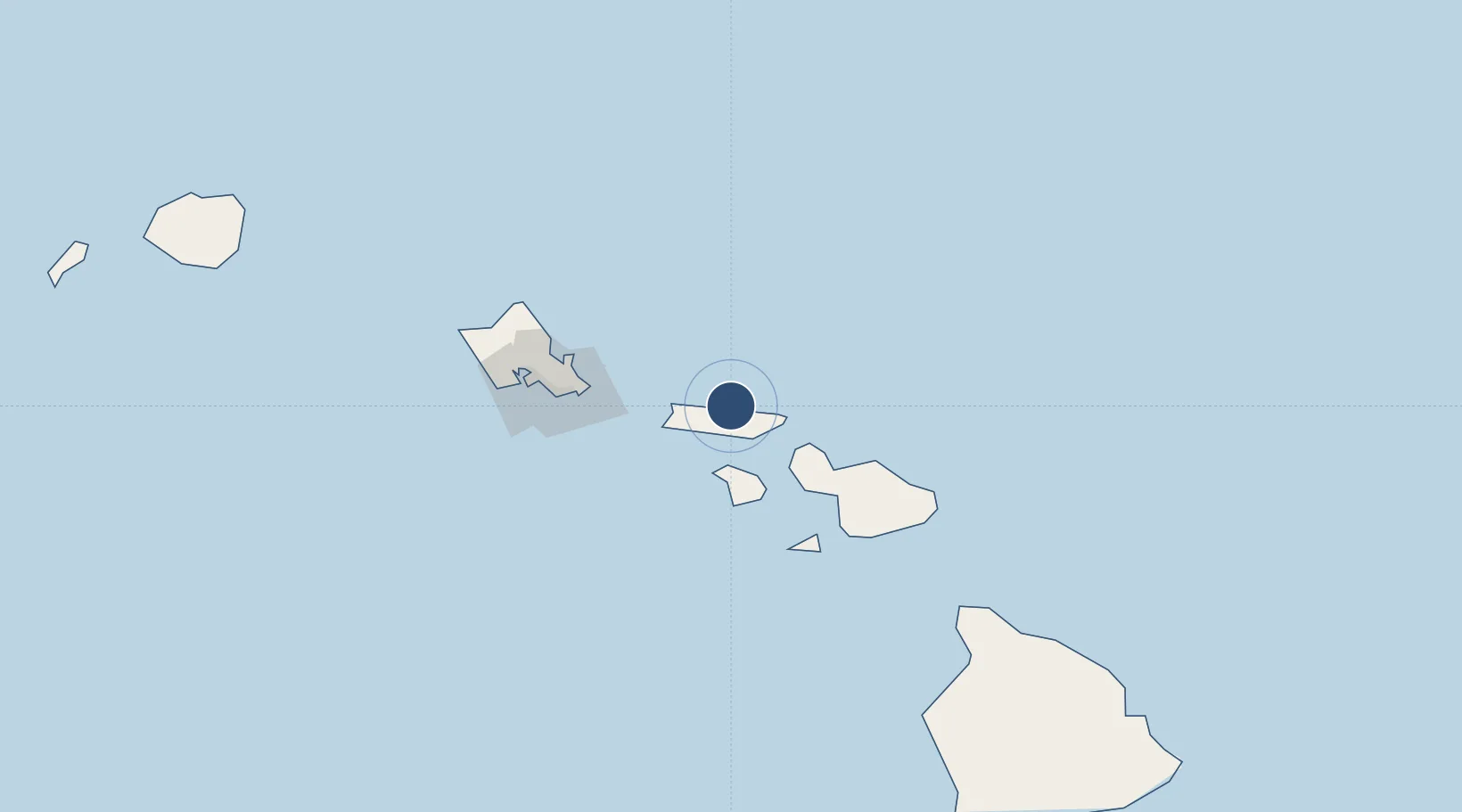
21.2110°, -156.9740°
2,700 ft
Longest runway
1
Runways
24 ft
Elevation
Runway & Layout

Runways · 1
| Runway | Dimensions | Surface | True heading | Lit |
|---|---|---|---|---|
| 05/23 | 2,700 × 75ft | ASPH-G | 061° | — |
Airport Specifications
IATA code
LUP
ICAO code
PHLU
Airport class
Small airport
Scheduled service
Yes
Runway surface
ASPH-G
Served city
Kalaupapa
Location
Nearby Logistics Neighbours
Airports
- 1Molokai Airport14 km
- 2Kapalua Airport42 km
- 3Lanai Airport47 km
- 4Manele Heliport52 km
- 5Kahului International Airport66 km
Cities
- 1Kahului63 km
- 2Kihei72 km
- 3Haiku76 km
- 4Kailua81 km
- 5Ulupalakua88 km
Ports
- 1Kaunakakai16 km
- 2Lahaina50 km
- 3Kahului63 km
- 4Honolulu93 km
- 5Hana115 km
Trade Zones
- 1FTZ No. 009 Honolulu93 km
- 2FTZ No. 248 Eureka3775 km
- 3FTZ No. 003 San Francisco3790 km
- 4FTZ No. 056 Oakland3800 km
- 5FTZ No. 132 Coos County3901 km
DatabookThe Record of Consolidated Knowledge
United States beyond logistics?