Channel & Berth Profile
Pilotage, Tugs & Services
Pilotage compulsoryYES
Pilotage availableYES
Tug assistanceYES
Shore powerYES
Potable waterYES
MedicalYES
Facilities & Capabilities
Container—
Ro-Ro—
Liquid bulk—
Dry bulk—
Oil terminal—
Break bulk—
Dry dockNO
RepairsNO
BunkeringYES
Rail link—
Dangerous cargo—
ISPS security—
Harbour Specifications
Harbour size
Small
Harbour type
Coastal (Breakwater)
Shelter
Fair
Water body
North Pacific Ocean
Tidal range
0.3 m
Pilotage
Yes
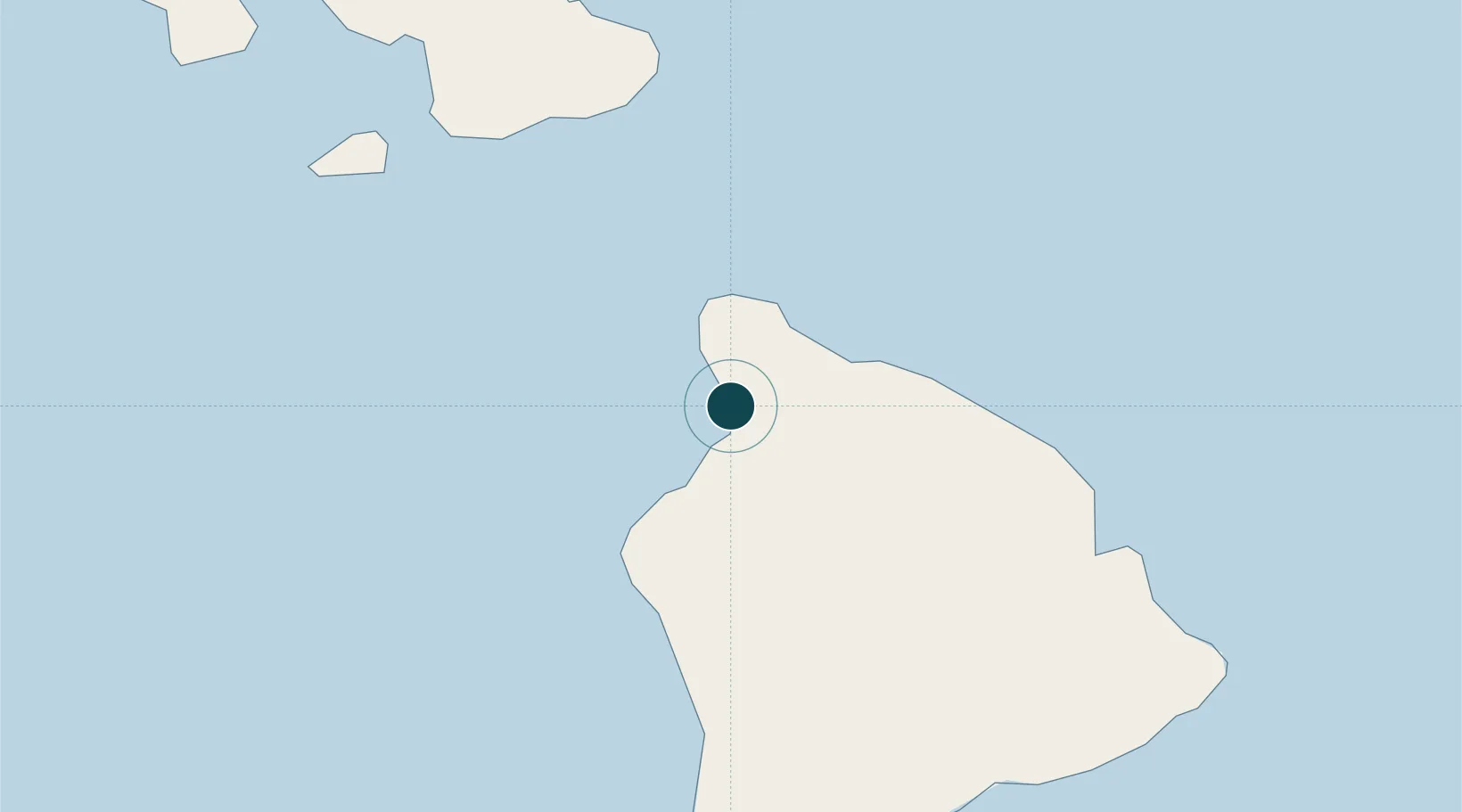
Location
Nearby Logistics Neighbours
Cities
- 1Hilo87 km
- 2Ulupalakua89 km
- 3Kihei105 km
- 4Haiku110 km
- 5Kahului116 km
Airports
Trade Zones
- 1FTZ No. 009 Honolulu254 km
- 2FTZ No. 003 San Francisco3776 km
- 3FTZ No. 248 Eureka3780 km
- 4FTZ No. 056 Oakland3786 km
- 5FTZ No. 132 Coos County3918 km
DatabookThe Record of Consolidated Knowledge
United States beyond logistics?