Foreign Trade Zone · United States

FTZ No. 248 Eureka Active

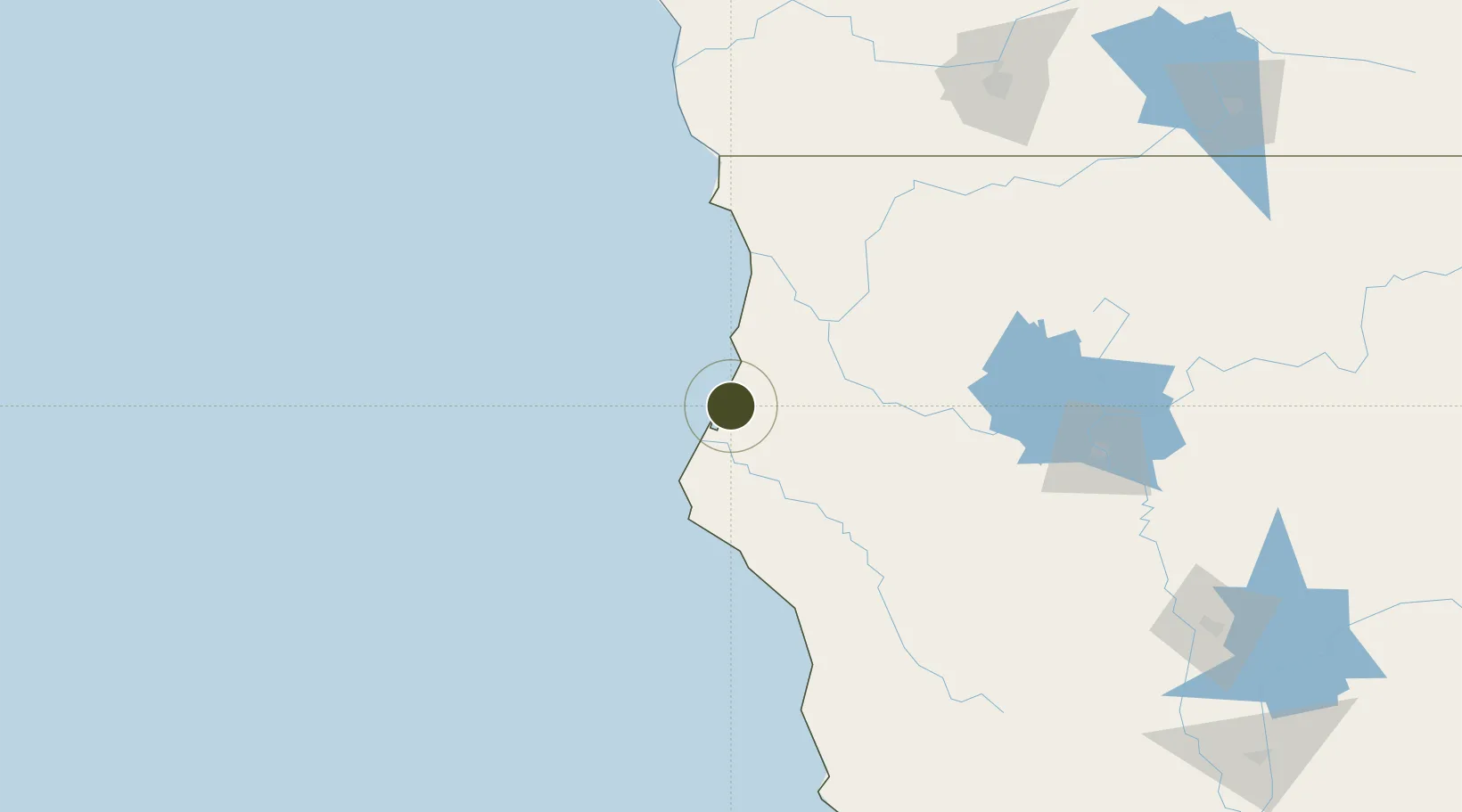
40.8022°, -124.1601°
2.0 km
Nearest port
4.0 km
Nearest airport

Gateway access

Nearest neighbours — logibook spatial index (haversine) over the source coordinates

Zone profile

Zone type
Foreign Trade Zone
Open Zone Map
Region
California
Open Zone Map
Status
Active
Open Zone Map
Management
Public
Open Zone Map
Operator
City of Eureka
Open Zone Map
Legal framework
Foreign-Trade Zones Act
Open Zone Map

Location

Location of ozm-4749
Natural Earth 10m (public domain) · California · ozm-4749 · 40.80, -124.16GoogleOSMYandex

Nearby Logistics Neighbours

Ports
  1. 1Eureka2 km
  2. 2Samoa3 km
  3. 3Fields Landing11 km
  4. 4Crescent City105 km
  5. 5Fort Bragg153 km
Nearest neighbours — logibook spatial index (haversine) over the source coordinates
Airports
  1. 1Murray Field4 km
  2. 2California Redwood Coast-Humboldt County Airport20 km
  3. 3Jack Mc Namara Field Airport109 km
  4. 4Redding Municipal Airport161 km
  5. 5Red Bluff Municipal Airport177 km
Nearest neighbours — logibook spatial index (haversine) over the source coordinates
Cities
  1. 1Samoa4 km
  2. 2Indianola14 km
  3. 3McKinleyville17 km
  4. 4McClellan Place72 km
  5. 5Westport134 km
Nearest neighbours — logibook spatial index (haversine) over the source coordinates
Trade Zones
  1. 1FTZ No. 132 Coos County285 km
  2. 2FTZ No. 143 West Sacramento334 km
  3. 3FTZ No. 003 San Francisco367 km
  4. 4FTZ No. 056 Oakland371 km
  5. 5FTZ No. 126 Sparks396 km
Nearest neighbours — logibook spatial index (haversine) over the source coordinates
DatabookThe Record of Consolidated Knowledge
United States beyond logistics?
Browse databook

All Sources

Trade ZonesOpen Zone Map
CC BY
Portsthe NGA World Port Index
Public domain (US gov)
AirportsOurAirports
Public domain
LocationsUN/LOCODE
UN/LOCODE — free
← United States trade zones