Transport Functions
Port
Multimodal
Hub Profile
Place type
Populated place
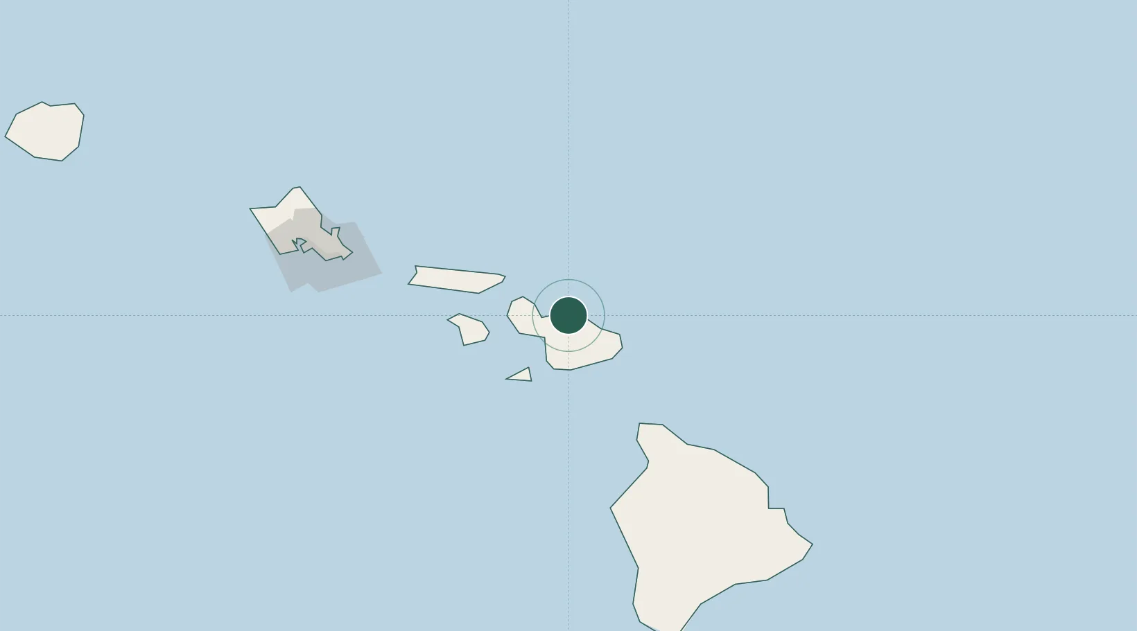
Region
Hawaii
Population
8,694
Time zone
Pacific/Honolulu
Elevation
148 m
Location
Nearby Logistics Neighbours
Cities
- 1Kahului16 km
- 2Kihei20 km
- 3Ulupalakua31 km
- 4Kailua156 km
- 5Honolulu169 km
Ports
- 1Kahului16 km
- 2Lahaina37 km
- 3Hana39 km
- 4Kaunakakai77 km
- 5Kawaihae110 km
Airports
- 1Kahului International Airport12 km
- 2Hana Airport34 km
- 3Kapalua Airport37 km
- 4Manele Heliport65 km
- 5Lanai Airport68 km
Trade Zones
- 1FTZ No. 009 Honolulu166 km
- 2FTZ No. 248 Eureka3748 km
- 3FTZ No. 003 San Francisco3755 km
- 4FTZ No. 056 Oakland3765 km
- 5FTZ No. 132 Coos County3878 km
DatabookThe Record of Consolidated Knowledge
United States beyond logistics?