Foreign Trade Zone · United States

FTZ No. 009 Honolulu Active

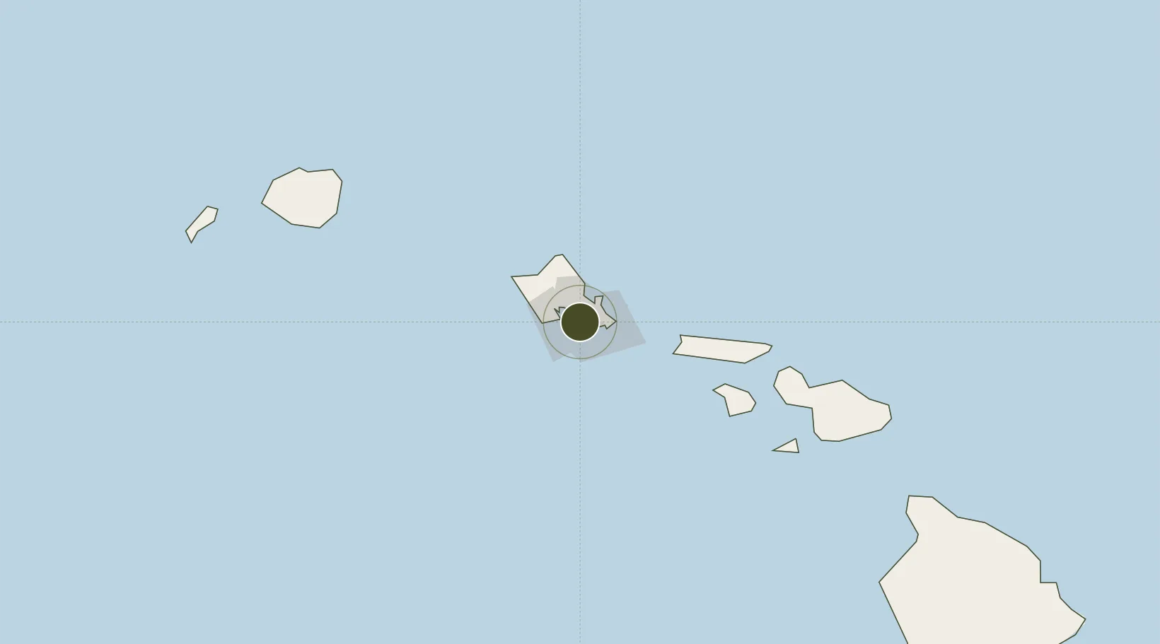
21.3011°, -157.8646°
0.2 km
Nearest port
6.6 km
Nearest airport

Gateway access

Nearest neighbours — logibook spatial index (haversine) over the source coordinates

Zone profile

Zone type
Foreign Trade Zone
Open Zone Map
Region
Hawaii
Open Zone Map
Status
Active
Open Zone Map
Management
Public
Open Zone Map
Operator
State of Hawaii
Open Zone Map
Legal framework
Foreign-Trade Zones Act
Open Zone Map

Location

Location of ozm-4737
Natural Earth 10m (public domain) · Hawaii · ozm-4737 · 21.30, -157.86GoogleOSMYandex

Nearby Logistics Neighbours

Ports
  1. 1Honolulu0 km
  2. 2Barber's Point26 km
  3. 3Kaunakakai90 km
  4. 4Lahaina133 km
  5. 5Kahului152 km
Nearest neighbours — logibook spatial index (haversine) over the source coordinates
Airports
  1. 1Daniel K. Inouye International Airport7 km
  2. 2Hickam Air Force Base10 km
  3. 3Kaneohe Bay MCAS (Marion E. Carl Field) Airport19 km
  4. 4Kalaeloa Airport21 km
  5. 5Molokai Airport81 km
Nearest neighbours — logibook spatial index (haversine) over the source coordinates
Cities
  1. 1Honolulu3 km
  2. 2Kailua18 km
  3. 3Kapolei23 km
  4. 4Mililani Town27 km
  5. 5Waianae36 km
Nearest neighbours — logibook spatial index (haversine) over the source coordinates
Trade Zones
  1. 1FTZ No. 248 Eureka3837 km
  2. 2FTZ No. 003 San Francisco3858 km
  3. 3FTZ No. 056 Oakland3868 km
  4. 4FTZ No. 132 Coos County3957 km
  5. 5FTZ No. 255 Washington County4129 km
Nearest neighbours — logibook spatial index (haversine) over the source coordinates
DatabookThe Record of Consolidated Knowledge
United States beyond logistics?
Browse databook

All Sources

Trade ZonesOpen Zone Map
CC BY
Portsthe NGA World Port Index
Public domain (US gov)
AirportsOurAirports
Public domain
LocationsUN/LOCODE
UN/LOCODE — free
← United States trade zones