Channel & Berth Profile
Pilotage, Tugs & Services
Pilotage compulsoryYES
Pilotage availableYES
Pilotage advisableYES
Tug assistanceYES
Shore powerYES
Potable waterYES
Diesel bunkersYES
MedicalYES
Facilities & Capabilities
Container—
Ro-Ro—
Liquid bulk—
Dry bulk—
Oil terminal—
Break bulk—
Dry dock—
RepairsNO
BunkeringYES
Rail link—
Dangerous cargo—
ISPS security—
Harbour Specifications
Harbour size
Very Small
Harbour type
Coastal (Breakwater)
Shelter
Good
Water body
North Pacific Ocean
Tidal range
0.3 m
Pilotage
Yes
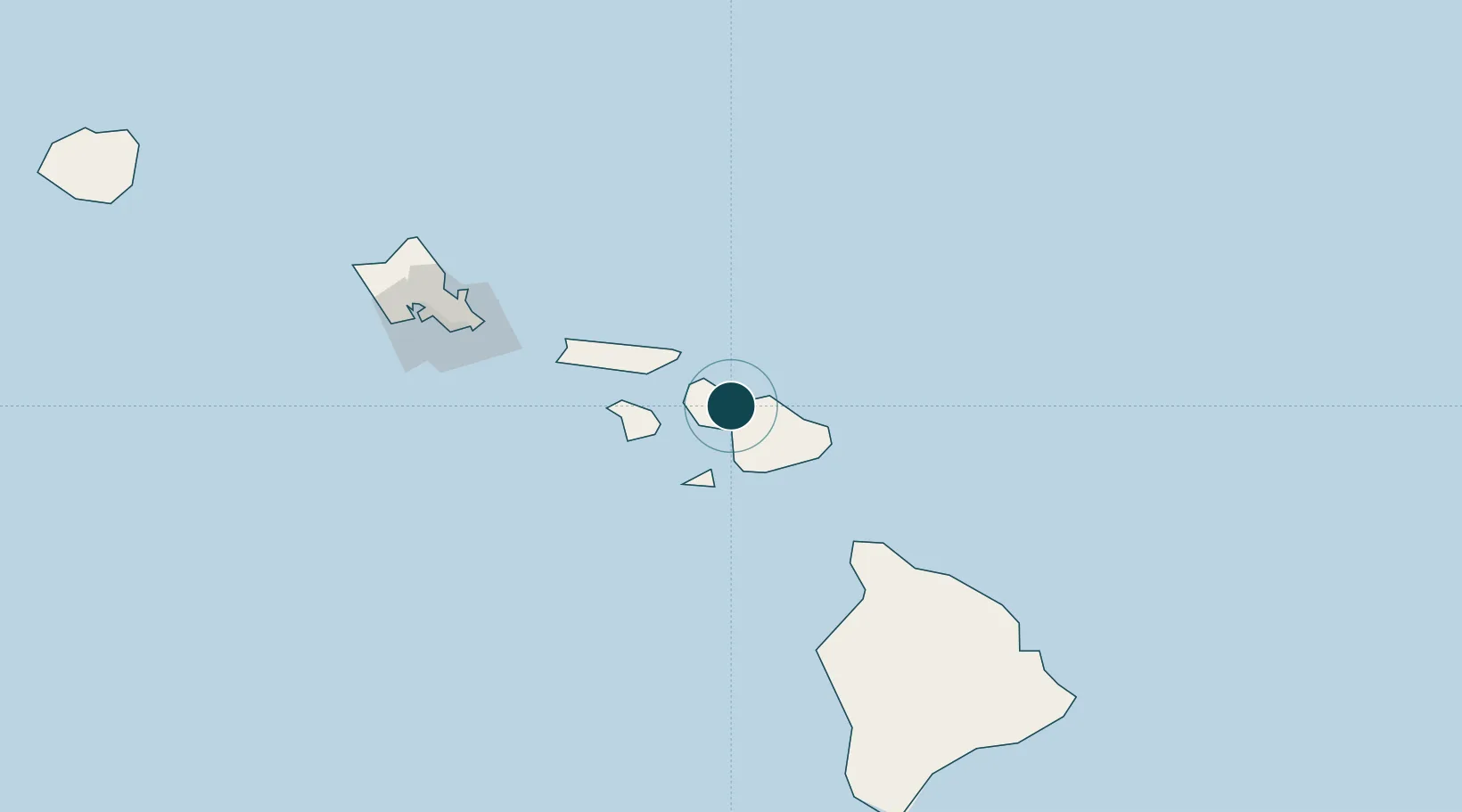
Location
Nearby Logistics Neighbours
Ports
- 1Lahaina21 km
- 2Hana53 km
- 3Kaunakakai62 km
- 4Kawaihae117 km
- 5Kailua149 km
Cities
- 1Kihei13 km
- 2Haiku16 km
- 3Ulupalakua29 km
- 4Kailua143 km
- 5Honolulu155 km
Airports
- 1Kahului International Airport4 km
- 2Kapalua Airport23 km
- 3Hana Airport48 km
- 4Manele Heliport50 km
- 5Lanai Airport52 km
Trade Zones
- 1FTZ No. 009 Honolulu152 km
- 2FTZ No. 248 Eureka3760 km
- 3FTZ No. 003 San Francisco3769 km
- 4FTZ No. 056 Oakland3779 km
- 5FTZ No. 132 Coos County3890 km
DatabookThe Record of Consolidated Knowledge
United States beyond logistics?