Foreign Trade Zone · United States

FTZ No. 056 Oakland Active

37.8058°, -122.2726°
2.6 km
Nearest port
10.5 km
Nearest airport

Gateway access

Nearest neighbours — logibook spatial index (haversine) over the source coordinates

Zone profile

Zone type
Foreign Trade Zone
Open Zone Map
Region
California
Open Zone Map
Status
Active
Open Zone Map
Management
Public
Open Zone Map
Operator
City of Oakland
Open Zone Map
Legal framework
Foreign-Trade Zones Act
Open Zone Map

Location

Location of ozm-4754
Natural Earth 10m (public domain) · California · ozm-4754 · 37.81, -122.27GoogleOSMYandex

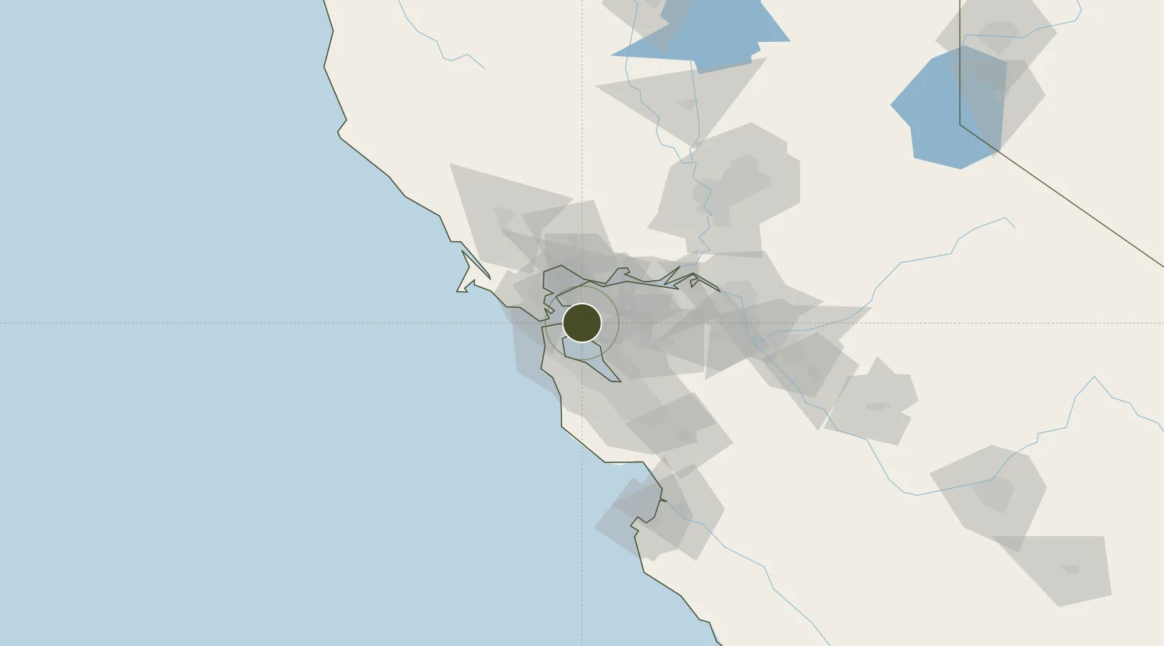
Nearby Logistics Neighbours

Ports
  1. 1Alameda3 km
  2. 2Oakland6 km
  3. 3Berkeley7 km
  4. 4San Francisco13 km
  5. 5Point Richmond15 km
Nearest neighbours — logibook spatial index (haversine) over the source coordinates
Airports
  1. 1San Francisco Bay Oakland International Airport11 km
  2. 2San Francisco International Airport23 km
  3. 3Buchanan Field28 km
  4. 4San Carlos Airport33 km
  5. 5Palo Alto Airport41 km
Nearest neighbours — logibook spatial index (haversine) over the source coordinates
Cities
  1. 1Oakland2 km
  2. 2Alameda3 km
  3. 3San Francisco8 km
  4. 4Kensington11 km
  5. 5Richmond12 km
Nearest neighbours — logibook spatial index (haversine) over the source coordinates
Trade Zones
  1. 1FTZ No. 003 San Francisco11 km
  2. 2FTZ No. 018 San Jose62 km
  3. 3FTZ No. 231 Stockton85 km
  4. 4FTZ No. 143 West Sacramento108 km
  5. 5FTZ No. 226 Merced, Madera and Fresno Counties167 km
Nearest neighbours — logibook spatial index (haversine) over the source coordinates
DatabookThe Record of Consolidated Knowledge
United States beyond logistics?
Browse databook

All Sources

Trade ZonesOpen Zone Map
CC BY
Portsthe NGA World Port Index
Public domain (US gov)
AirportsOurAirports
Public domain
LocationsUN/LOCODE
UN/LOCODE — free
← United States trade zones