Seaport · United States
HonoluluUSHNL
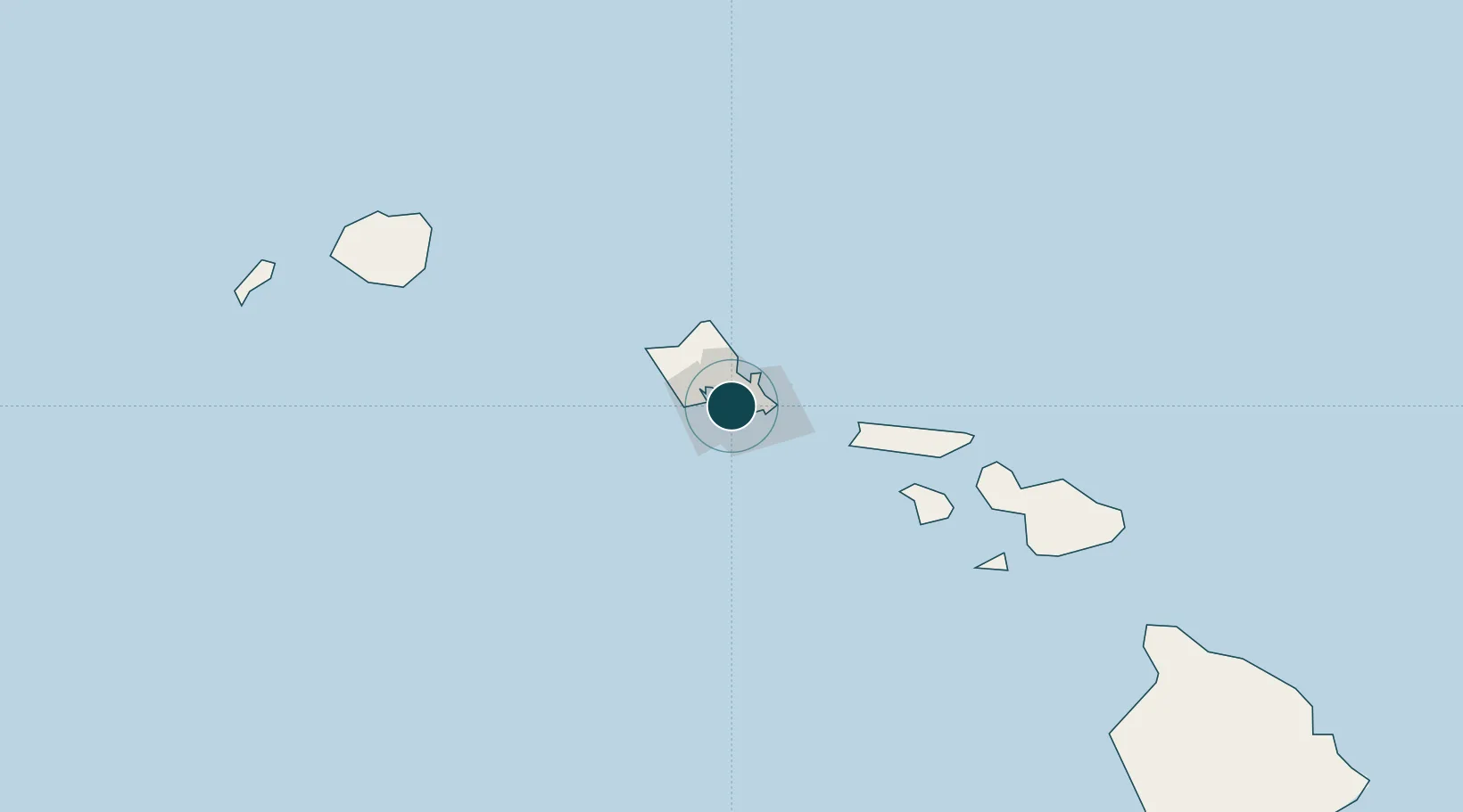
21.3000°, -157.8667°
11.0 m
Channel depth
3
Container terminals
63.6
Port liner connectivity
Channel & Berth Profile
Pilotage, Tugs & Services
Pilotage compulsoryYES
Pilotage availableYES
Pilotage advisableYES
Tug assistanceYES
Salvage tugsYES
Shore powerYES
Potable waterYES
Diesel bunkersYES
MedicalYES
Garbage disposalYES
Facilities & Capabilities
Container—
Ro-Ro—
Liquid bulk—
Dry bulk—
Oil terminal—
Break bulk—
Dry dock—
RepairsNO
BunkeringNO
Rail link—
Dangerous cargo—
ISPS security—
Harbour Specifications
Harbour size
Medium
Harbour type
Coastal (Breakwater)
Shelter
Excellent
Water body
North Pacific Ocean
Tidal range
0.6 m
Overhead limit
Yes
Pilotage
Yes
Liner Connectivity
63.6
PLSCI
Port Liner Shipping Connectivity Index for Honolulu, as published by UNCTAD for the latest available quarter. Higher values indicate stronger scheduled liner-shipping integration.
Shown relative to the highest per-port PLSCI in the dataset (1,657.9).
Location
Container Terminals · 3
HONOLULU TERMINAL, PIER 1
HSP1 PASHA HAWAII
MATSON TERMINAL
MATS MATSON TERMINALS
HONOLULU TERMINAL, PIER 51
PASHA PASHA HAWAII
Nearby Logistics Neighbours
Ports
- 1Barber's Point26 km
- 2Kaunakakai90 km
- 3Lahaina134 km
- 4Kahului152 km
- 5Nawiliwili Bay170 km
Cities
- 1Kailua18 km
- 2Kapolei23 km
- 3Mililani Town27 km
- 4Waianae36 km
- 5Waianae36 km
Airports
Trade Zones
- 1FTZ No. 009 Honolulu0 km
- 2FTZ No. 248 Eureka3837 km
- 3FTZ No. 003 San Francisco3858 km
- 4FTZ No. 056 Oakland3868 km
- 5FTZ No. 132 Coos County3957 km
DatabookThe Record of Consolidated Knowledge
United States beyond logistics?