Foreign Trade Zone · United States

FTZ No. 132 Coos County Active

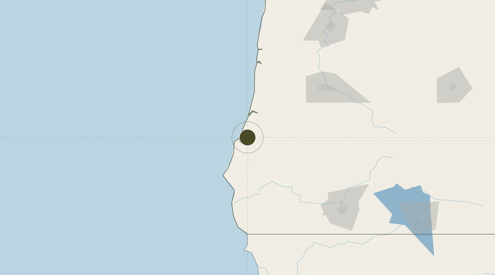
43.3677°, -124.2156°
0.1 km
Nearest port
6.0 km
Nearest airport

Gateway access

Nearest neighbours — logibook spatial index (haversine) over the source coordinates

Zone profile

Zone type
Foreign Trade Zone
Open Zone Map
Region
Oregon
Open Zone Map
Status
Active
Open Zone Map
Management
Public-Private Partnership
Open Zone Map
Operator
International Port of Coos Bay Commission
Open Zone Map
Legal framework
Foreign-Trade Zones Act
Open Zone Map

Location

Location of ozm-4878
Natural Earth 10m (public domain) · Oregon · ozm-4878 · 43.37, -124.22GoogleOSMYandex

Nearby Logistics Neighbours

Ports
  1. 1Coos Bay0 km
  2. 2North Bend4 km
  3. 3Prosper27 km
  4. 4Bandon32 km
  5. 5Gardiner40 km
Nearest neighbours — logibook spatial index (haversine) over the source coordinates
Airports
  1. 1Southwest Oregon Regional Airport6 km
  2. 2Eugene Airport117 km
  3. 3Newport Municipal Airport135 km
  4. 4Corvallis Municipal Airport146 km
  5. 5Rogue Valley International-Medford Airport156 km
Nearest neighbours — logibook spatial index (haversine) over the source coordinates
Cities
  1. 1Coquille21 km
  2. 2Umpqua61 km
  3. 3Cape Blanco66 km
  4. 4Port Orford73 km
  5. 5Oakland76 km
Nearest neighbours — logibook spatial index (haversine) over the source coordinates
Trade Zones
  1. 1FTZ No. 255 Washington County251 km
  2. 2FTZ No. 045 Portland267 km
  3. 3FTZ No. 296 Vancouver280 km
  4. 4FTZ No. 248 Eureka285 km
  5. 5FTZ No. 120 Cowlitz County320 km
Nearest neighbours — logibook spatial index (haversine) over the source coordinates
DatabookThe Record of Consolidated Knowledge
United States beyond logistics?
Browse databook

All Sources

Trade ZonesOpen Zone Map
CC BY
Portsthe NGA World Port Index
Public domain (US gov)
AirportsOurAirports
Public domain
LocationsUN/LOCODE
UN/LOCODE — free
← United States trade zones