Medium airport · United States
Lanai AirportPHNY
20.7857°, -156.9513°
5,001 ft
Longest runway
1
Runways
1,308 ft
Elevation
Runway & Layout

Radio Frequencies
ASOS
118.375 MHz
CTAF
122.9 MHz
CNTR
119.3 MHz
HONOLULU CNTR
RCO
117.7 MHz
RDO
Navaids
LLD NDB Lanai 353 kHz
LNY VORTAC Lanai 117.70 MHz
Runways · 1
| Runway | Dimensions | Surface | True heading | Lit |
|---|---|---|---|---|
| 03/21 | 5,001 × 150ft | Asphalt | 044° | ✓ |
Airport Specifications
IATA code
LNY
ICAO code
PHNY
Airport class
Medium airport
Scheduled service
Yes
Runway surface
Asphalt
Served city
Lanai City
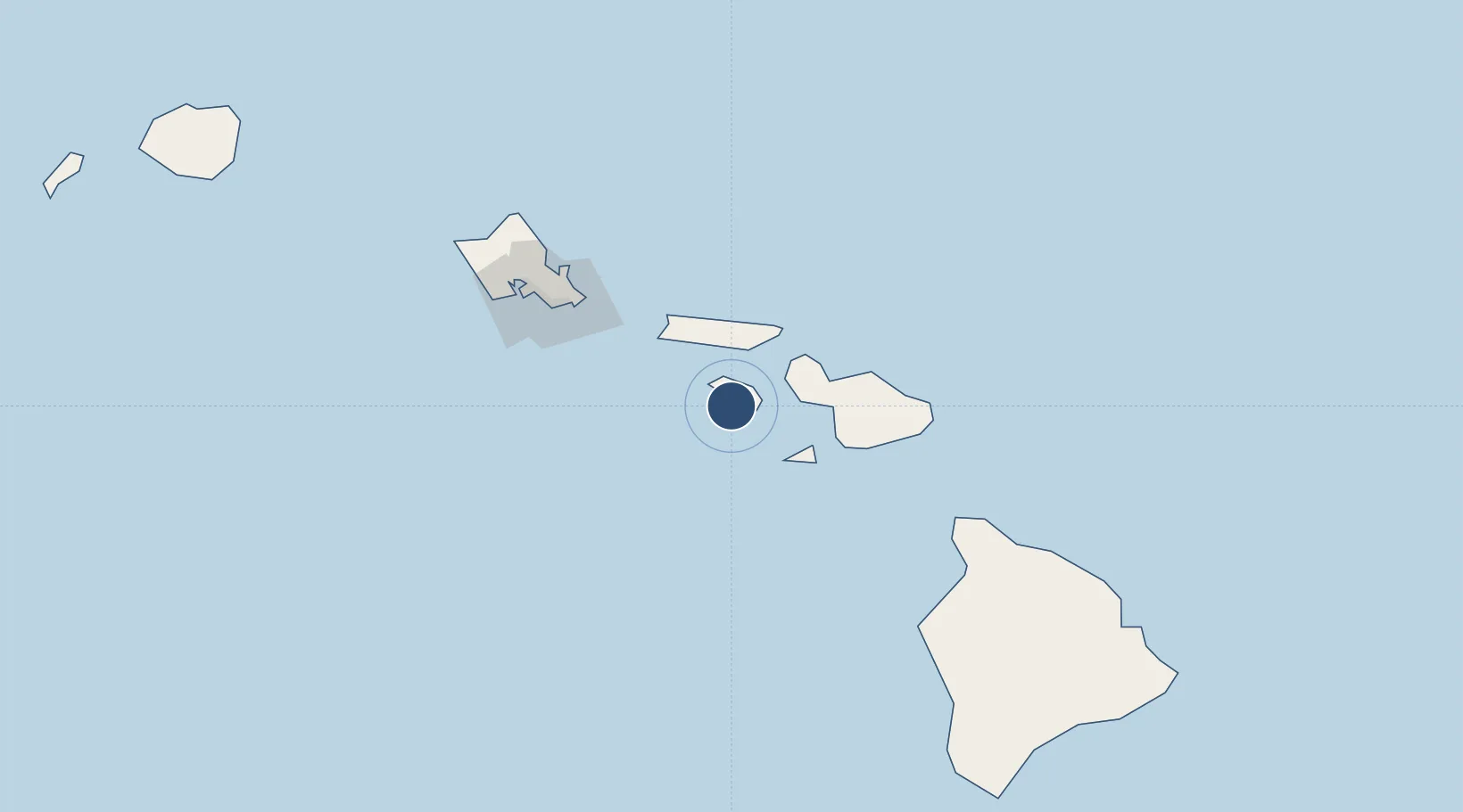
Location
Nearby Logistics Neighbours
Airports
- 1Manele Heliport6 km
- 2Kapalua Airport35 km
- 3Molokai Airport44 km
- 4Kalaupapa Airport47 km
- 5Kahului International Airport55 km
Cities
- 1Kahului52 km
- 2Kihei52 km
- 3Ulupalakua61 km
- 4Haiku68 km
- 5Kailua106 km
Ports
- 1Lahaina31 km
- 2Kaunakakai34 km
- 3Kahului52 km
- 4Hana101 km
- 5Honolulu111 km
Trade Zones
- 1FTZ No. 009 Honolulu111 km
- 2FTZ No. 248 Eureka3806 km
- 3FTZ No. 003 San Francisco3816 km
- 4FTZ No. 056 Oakland3827 km
- 5FTZ No. 132 Coos County3934 km
DatabookThe Record of Consolidated Knowledge
United States beyond logistics?