Transport Functions
Port
Road
Hub Profile
Place type
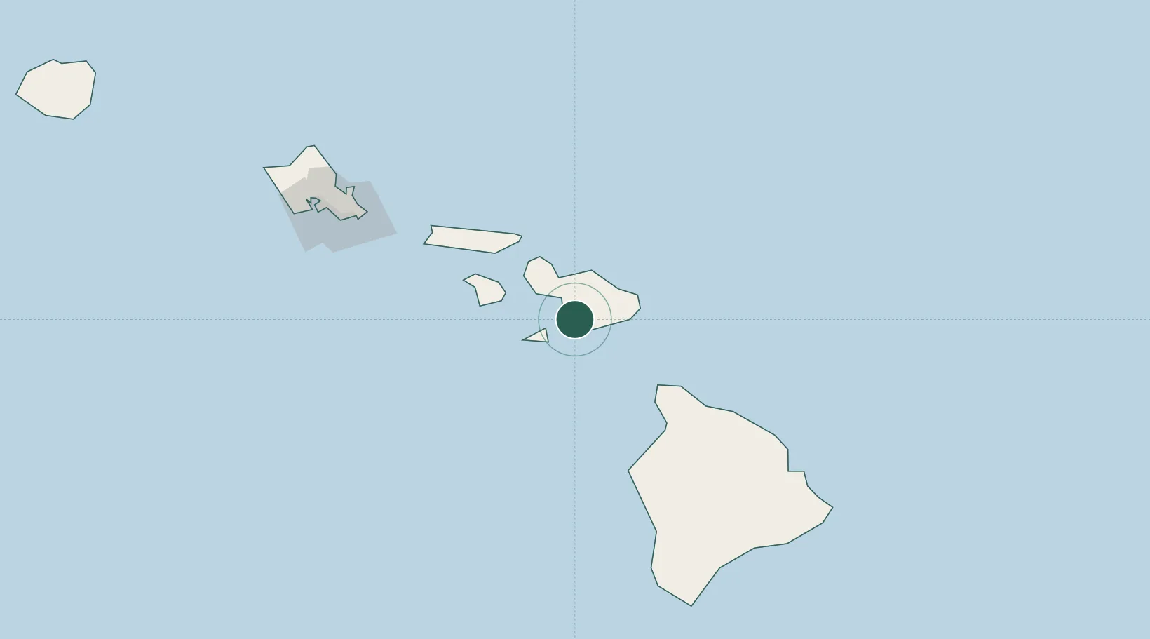
Populated place
Region
Hawaii
Time zone
Pacific/Honolulu
Elevation
650 m
Location
Nearby Logistics Neighbours
Ports
- 1Kahului29 km
- 2Lahaina38 km
- 3Hana43 km
- 4Kaunakakai83 km
- 5Kawaihae89 km
Airports
- 1Kahului International Airport28 km
- 2Hana Airport42 km
- 3Kapalua Airport46 km
- 4Manele Heliport56 km
- 5Lanai Airport61 km
Trade Zones
- 1FTZ No. 009 Honolulu170 km
- 2FTZ No. 248 Eureka3773 km
- 3FTZ No. 003 San Francisco3779 km
- 4FTZ No. 056 Oakland3789 km
- 5FTZ No. 132 Coos County3905 km
DatabookThe Record of Consolidated Knowledge
United States beyond logistics?