Channel & Berth Profile
Pilotage, Tugs & Services
Pilotage compulsoryYES
Pilotage availableYES
Tug assistanceNO
Salvage tugsNO
Shore powerYES
Potable waterYES
Diesel bunkersYES
MedicalYES
Garbage disposalNO
Facilities & Capabilities
Container—
Ro-Ro—
Liquid bulk—
Dry bulk—
Oil terminal—
Break bulk—
Dry dock—
RepairsNO
BunkeringYES
Rail link—
Dangerous cargo—
ISPS security—
Harbour Specifications
Harbour size
Very Small
Harbour type
Open Roadstead
Shelter
Good
Water body
North Pacific Ocean
Tidal range
0.3 m
Overhead limit
No
Pilotage
Yes
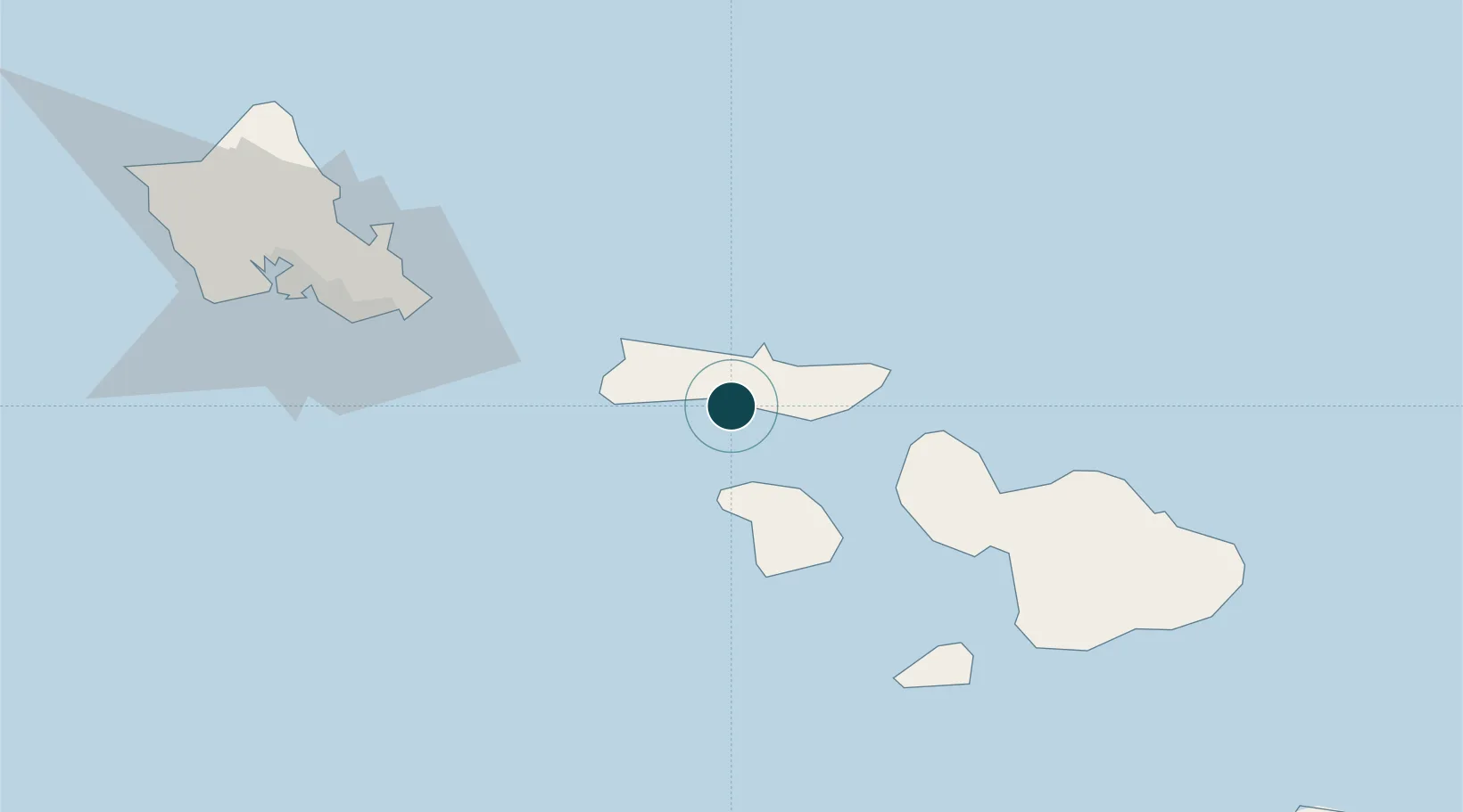
Location
Nearby Logistics Neighbours
Ports
- 1Lahaina45 km
- 2Kahului62 km
- 3Honolulu90 km
- 4Hana115 km
- 5Barber's Point115 km
Cities
- 1Kahului63 km
- 2Kihei69 km
- 3Haiku77 km
- 4Kailua81 km
- 5Ulupalakua83 km
Airports
- 1Molokai Airport10 km
- 2Kalaupapa Airport16 km
- 3Lanai Airport34 km
- 4Manele Heliport40 km
- 5Kapalua Airport40 km
Trade Zones
- 1FTZ No. 009 Honolulu90 km
- 2FTZ No. 248 Eureka3789 km
- 3FTZ No. 003 San Francisco3803 km
- 4FTZ No. 056 Oakland3813 km
- 5FTZ No. 132 Coos County3915 km
DatabookThe Record of Consolidated Knowledge
United States beyond logistics?