Medium airport · United States
Delta County AirportKESC
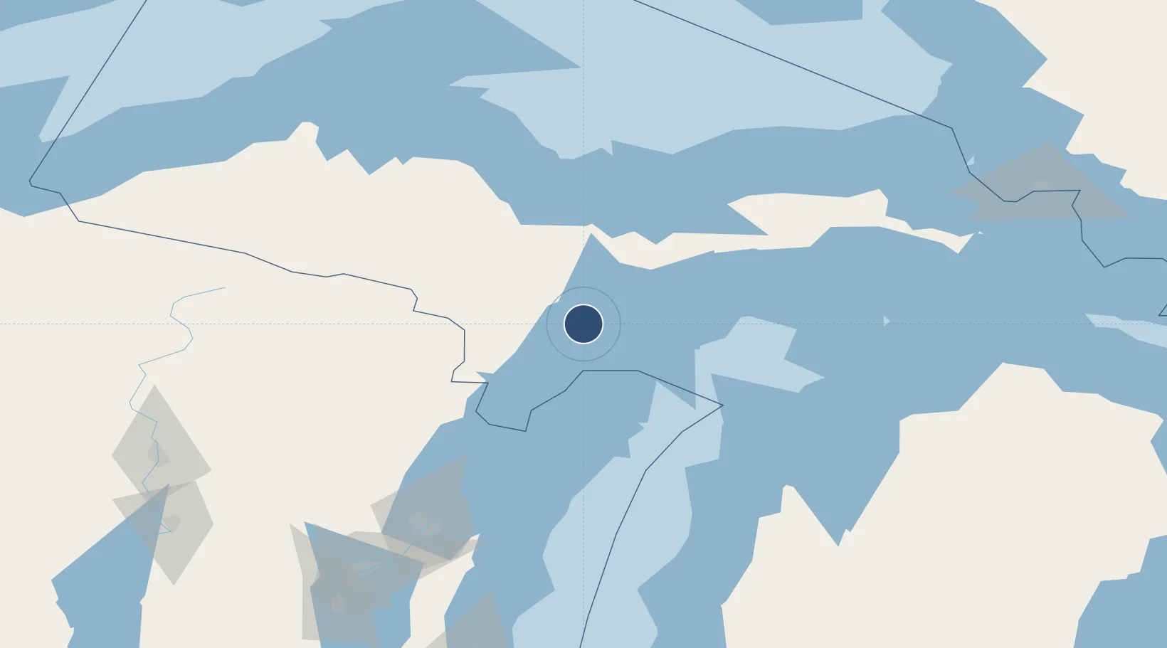
45.7232°, -87.0886°
6,498 ft
Longest runway
2
Runways
609 ft
Elevation
Runway & Layout

Radio Frequencies
AWOS
121.425 MHz
AWOS 3
CNTR
127.65 MHz
MINNEAPOLIS CNTR
RDO
122.3 MHz
GREEN BAY RDO
UNIC
122.8 MHz
CTAF/UNICOM
Runways · 2
| Runway | Dimensions | Surface | True heading | Lit |
|---|---|---|---|---|
| 10/28 | 6,498 × 150ft | Asphalt | 091° | ✓ |
| 01/19 | 5,016 × 100ft | Asphalt | 001° | ✓ |
Airport Specifications
IATA code
ESC
ICAO code
KESC
Airport class
Medium airport
Scheduled service
Yes
Runway surface
Asphalt
Served city
Escanaba
Location
Nearby Logistics Neighbours
Airports
- 1Marquette/Sawyer International Airport74 km
- 2Ford Airport80 km
- 3Beaver Island Airport118 km
- 4Welke Airport122 km
- 5Charlevoix Municipal Airport149 km
Cities
- 1Kingsley25 km
- 2Wilson27 km
- 3Cedar River41 km
- 4Stephenson54 km
- 5Norway63 km
Ports
- 1Escanaba6 km
- 2Gladstone15 km
- 3Manistique70 km
- 4Menominee80 km
- 5Marinette82 km
Trade Zones
- 1FTZ No. 167 Brown County169 km
- 2FTZ No. 016 Sault Ste. Marie223 km
- 3FTZ No. 019 Omaha271 km
- 4FTZ No. 189 Kent Ottawa/Muskegon Counties284 km
- 5FTZ No. 041 Milwaukee307 km
DatabookThe Record of Consolidated Knowledge
United States beyond logistics?