Transport Functions
Rail
Road
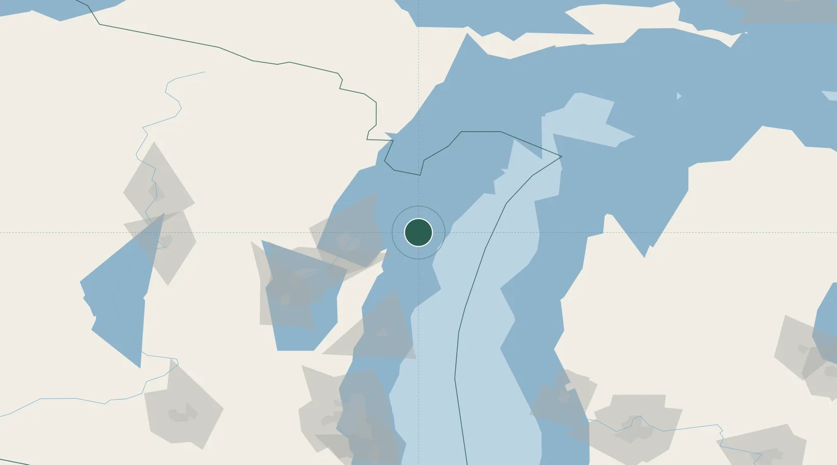
Hub Profile
Place type
Populated place
Region
Wisconsin
Population
3,094
Time zone
America/Chicago
Elevation
178 m
Location
Nearby Logistics Neighbours
Cities
- 1Kewaunee17 km
- 2New Franken30 km
- 3Green Bay46 km
- 4De Pere50 km
- 5Ashwaubenon52 km
Ports
- 1Kewaunee15 km
- 2Sturgeon Bay27 km
- 3Oconto44 km
- 4Green Bay46 km
- 5Two Rivers51 km
Airports
Trade Zones
- 1FTZ No. 167 Brown County68 km
- 2FTZ No. 019 Omaha156 km
- 3FTZ No. 189 Kent Ottawa/Muskegon Counties178 km
- 4FTZ No. 041 Milwaukee179 km
- 5FTZ No. 266 Dane County248 km
DatabookThe Record of Consolidated Knowledge
United States beyond logistics?