UN/LOCODE hub · United States
USKWU
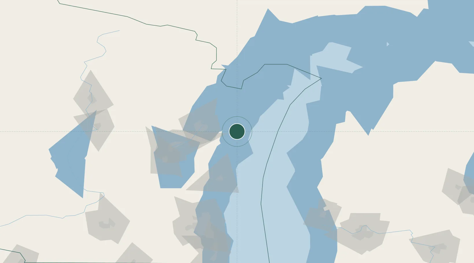
Kewaunee
44.4500°, -87.5000°
2,876
Population
3
Transport functions
Transport Functions
Port
Rail
Road
Hub Profile
Place type
Provincial seat
Region
Wisconsin
Population
2,876
Time zone
America/Chicago
Elevation
185 m
Location
Nearby Logistics Neighbours
Cities
- 1Algoma17 km
- 2New Franken27 km
- 3Branch40 km
- 4Green Bay42 km
- 5De Pere44 km
Ports
- 1Algoma18 km
- 2Two Rivers34 km
- 3Manitowoc42 km
- 4Green Bay42 km
- 5Sturgeon Bay44 km
Airports
Trade Zones
- 1FTZ No. 167 Brown County62 km
- 2FTZ No. 019 Omaha142 km
- 3FTZ No. 041 Milwaukee162 km
- 4FTZ No. 189 Kent Ottawa/Muskegon Counties166 km
- 5FTZ No. 266 Dane County234 km
DatabookThe Record of Consolidated Knowledge
United States beyond logistics?