Channel & Berth Profile
Pilotage, Tugs & Services
Pilotage compulsoryYES
Tug assistanceYES
Salvage tugsYES
Potable waterYES
Diesel bunkersYES
MedicalYES
Facilities & Capabilities
Container—
Ro-Ro—
Liquid bulk—
Dry bulk—
Oil terminal—
Break bulkYES
Dry dockNO
RepairsNO
BunkeringYES
Rail linkYES
Dangerous cargo—
ISPS security—
Harbour Specifications
Harbour size
Small
Harbour type
Canal or Lake
Shelter
Excellent
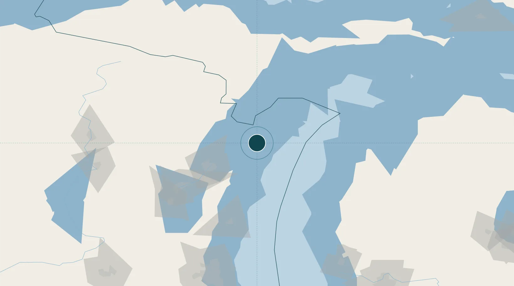
Water body
Lake Michigan; Great Lakes
Overhead limit
Yes
Pilotage
Yes
Location
Nearby Logistics Neighbours
Cities
- 1Algoma27 km
- 2Kewaunee44 km
- 3New Franken48 km
- 4Coleman57 km
- 5Pound59 km
Airports
- 1Austin Straubel International Airport71 km
- 2Delta County Airport102 km
- 3Manistee County Blacker Airport110 km
- 4Appleton International Airport110 km
- 5Ford Airport124 km
Trade Zones
- 1FTZ No. 167 Brown County83 km
- 2FTZ No. 019 Omaha178 km
- 3FTZ No. 189 Kent Ottawa/Muskegon Counties198 km
- 4FTZ No. 041 Milwaukee206 km
- 5FTZ No. 266 Dane County270 km
DatabookThe Record of Consolidated Knowledge
United States beyond logistics?