Channel & Berth Profile
Pilotage, Tugs & Services
Pilotage compulsoryNO
Pilotage availableYES
Tug assistanceNO
Salvage tugsNO
Potable waterYES
Diesel bunkersYES
MedicalYES
Facilities & Capabilities
Container—
Ro-Ro—
Liquid bulk—
Dry bulk—
Oil terminal—
Break bulk—
Dry dock—
RepairsNO
BunkeringYES
Rail link—
Dangerous cargo—
ISPS security—
Harbour Specifications
Harbour size
Very Small
Harbour type
Coastal (Natural)
Shelter
Good
Water body
North Atlantic Ocean
Tidal range
3.7 m
Overhead limit
No
Pilotage
No
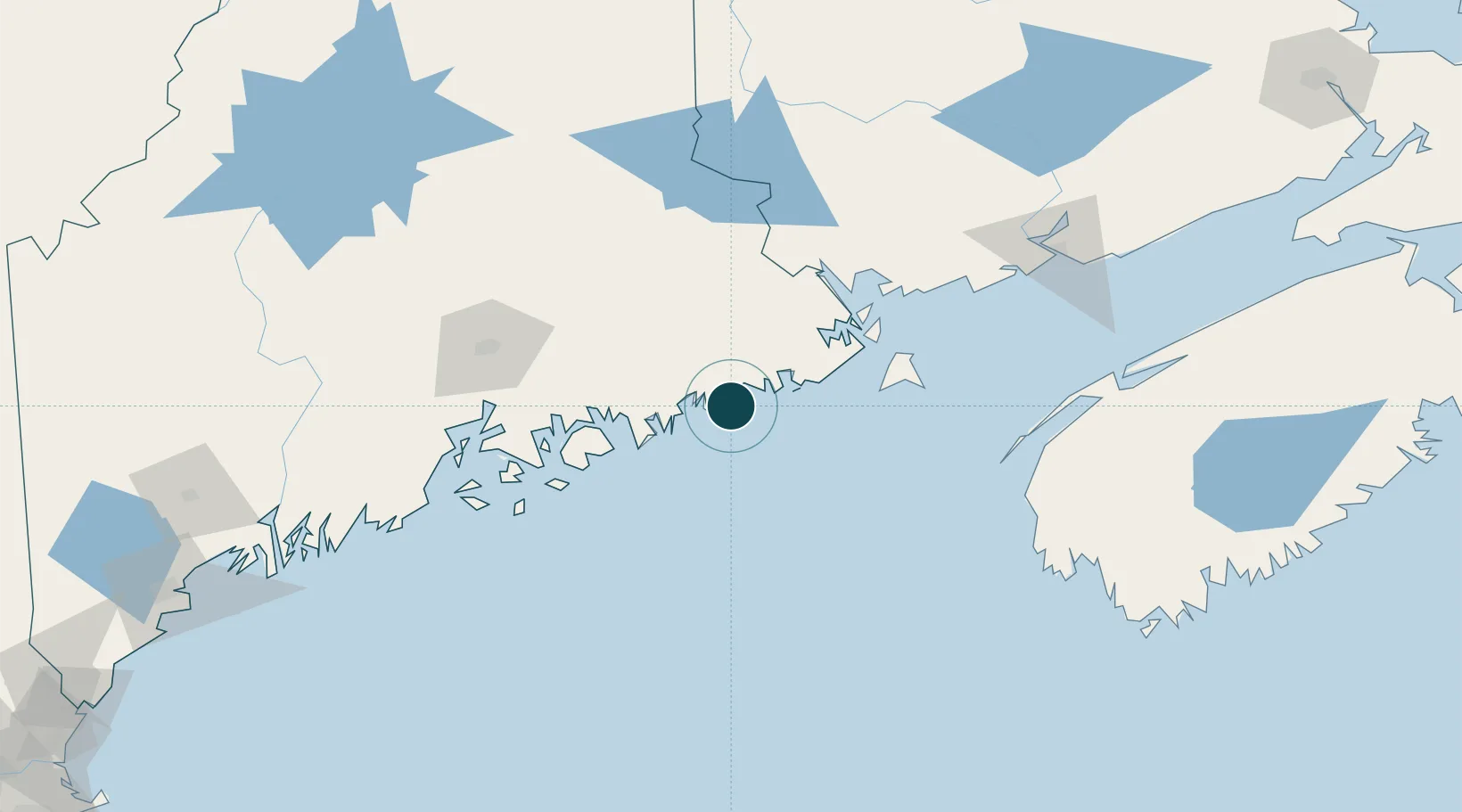
Location
Nearby Logistics Neighbours
Ports
- 1Milbridge21 km
- 2Machias24 km
- 3Machiasport25 km
- 4Winter Harbor41 km
- 5Sorrento46 km
Cities
- 1Addison14 km
- 2Harrington18 km
- 3Machias23 km
- 4Cherryfield25 km
- 5East Machias29 km
Airports
- 1Hancock County-Bar Harbor Airport60 km
- 2Bangor International Airport100 km
- 3Islesboro Airport106 km
- 4Vinalhaven Airport109 km
- 5Witherspoons Airport109 km
Trade Zones
- 1FTZ No. 058 Bangor100 km
- 2Saint John147 km
- 3FTZ No. 186 Waterville165 km
- 4FTZ No. 263 Auburn212 km
- 5FTZ No. 081 Portsmouth307 km
DatabookThe Record of Consolidated Knowledge
United States beyond logistics?