Channel & Berth Profile
Pilotage, Tugs & Services
Pilotage compulsoryNO
Pilotage availableYES
Tug assistanceNO
Salvage tugsNO
Potable waterYES
Diesel bunkersYES
Facilities & Capabilities
Container—
Ro-Ro—
Liquid bulk—
Dry bulk—
Oil terminal—
Break bulk—
Dry dock—
RepairsNO
Bunkering—
Rail link—
Dangerous cargo—
ISPS security—
Harbour Specifications
Harbour size
Very Small
Harbour type
Coastal (Natural)
Shelter
Good
Water body
North Atlantic Ocean
Tidal range
3 m
Overhead limit
No
Pilotage
No
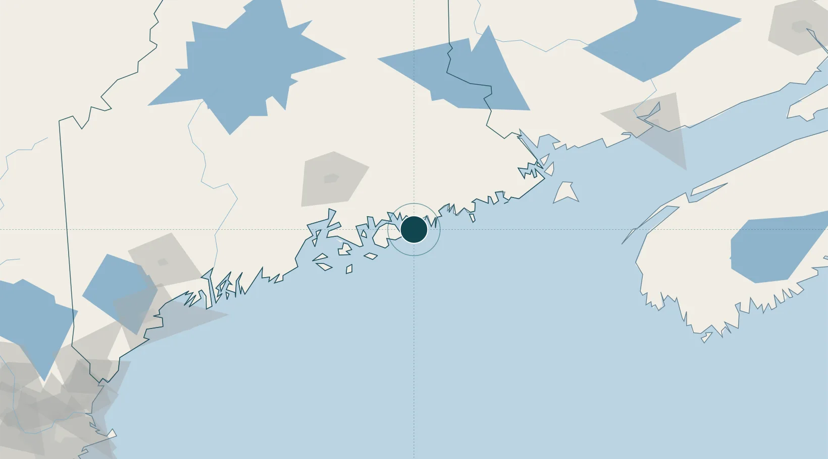
Location
Nearby Logistics Neighbours
Ports
- 1Bar Harbor9 km
- 2Sorrento12 km
- 3Mount Desert20 km
- 4Southwest Harbor22 km
- 5Milbridge23 km
Cities
- 1Hancock20 km
- 2Cherryfield28 km
- 3Ellsworth31 km
- 4Harrington34 km
- 5Addison37 km
Airports
- 1Hancock County-Bar Harbor Airport23 km
- 2Islesboro Airport66 km
- 3Vinalhaven Airport68 km
- 4Witherspoons Airport68 km
- 5Bangor International Airport75 km
Trade Zones
- 1FTZ No. 058 Bangor75 km
- 2FTZ No. 186 Waterville130 km
- 3FTZ No. 263 Auburn172 km
- 4Saint John187 km
- 5FTZ No. 081 Portsmouth267 km
DatabookThe Record of Consolidated Knowledge
United States beyond logistics?