Transport Functions
Rail
Road
Multimodal
Hub Profile
Place type
Provincial seat
Region
Maine
Population
1,274
Time zone
America/New_York
Elevation
25 m
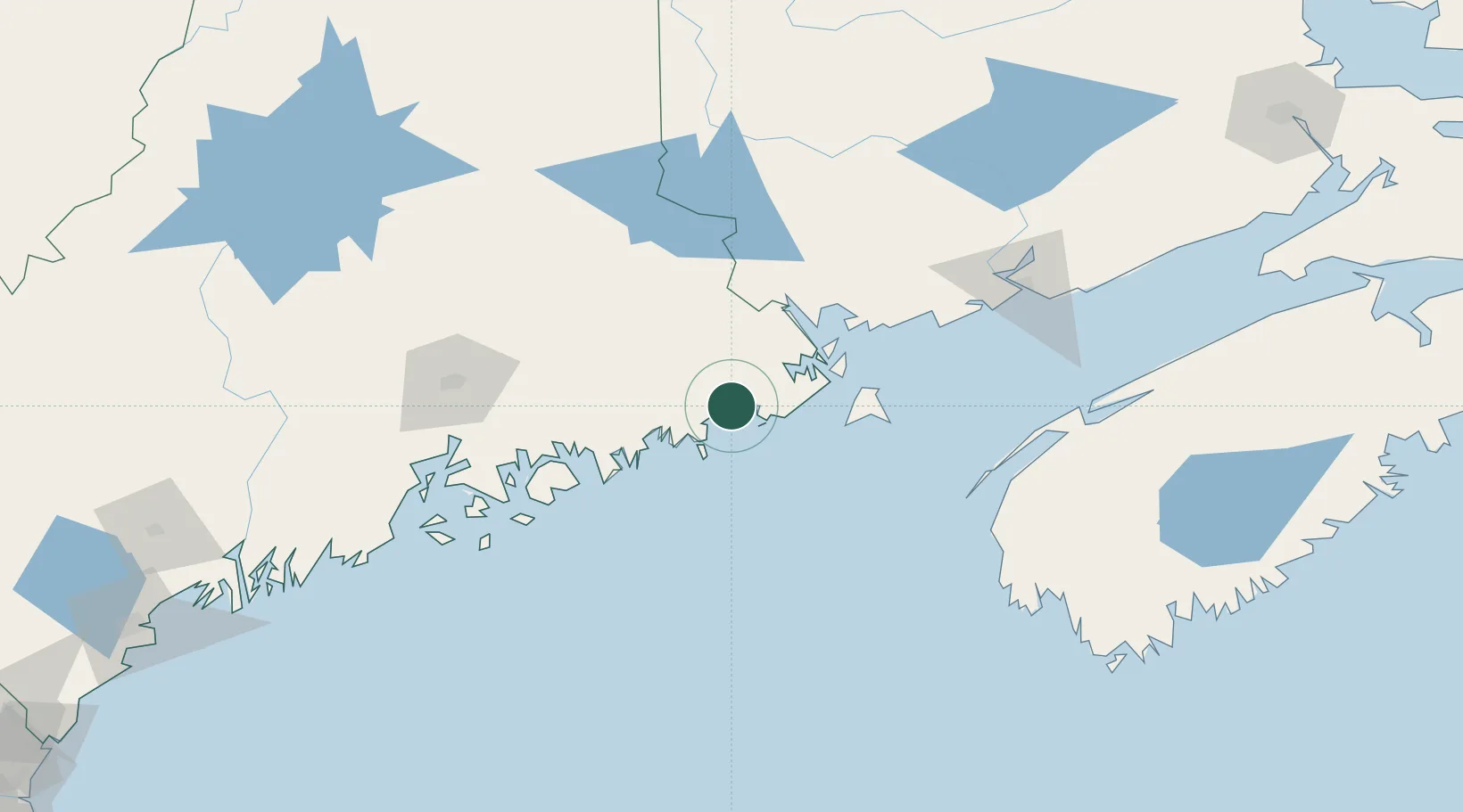
Location
Nearby Logistics Neighbours
Cities
- 1East Machias6 km
- 2Jonesport24 km
- 3Addison26 km
- 4Harrington30 km
- 5Cherryfield39 km
Ports
- 1Machiasport4 km
- 2Jonesport23 km
- 3Milbridge39 km
- 4Lubec41 km
- 5Eastport43 km
Airports
- 1Hancock County-Bar Harbor Airport77 km
- 2Bangor International Airport109 km
- 3Islesboro Airport124 km
- 4Witherspoons Airport129 km
- 5Vinalhaven Airport129 km
Trade Zones
- 1FTZ No. 058 Bangor109 km
- 2Saint John126 km
- 3FTZ No. 186 Waterville179 km
- 4FTZ No. 263 Auburn229 km
- 5FTZ No. 179 Madawaska295 km
DatabookThe Record of Consolidated Knowledge
United States beyond logistics?