Channel & Berth Profile
Pilotage, Tugs & Services
Pilotage compulsoryNO
Pilotage availableYES
Tug assistanceNO
Salvage tugsNO
Potable waterYES
Facilities & Capabilities
Container—
Ro-Ro—
Liquid bulk—
Dry bulk—
Oil terminal—
Break bulk—
Dry dock—
Repairs—
Bunkering—
Rail link—
Dangerous cargo—
ISPS security—
Harbour Specifications
Harbour size
Very Small
Harbour type
Coastal (Natural)
Shelter
Fair
Water body
North Atlantic Ocean
Tidal range
3 m
Overhead limit
No
Pilotage
No
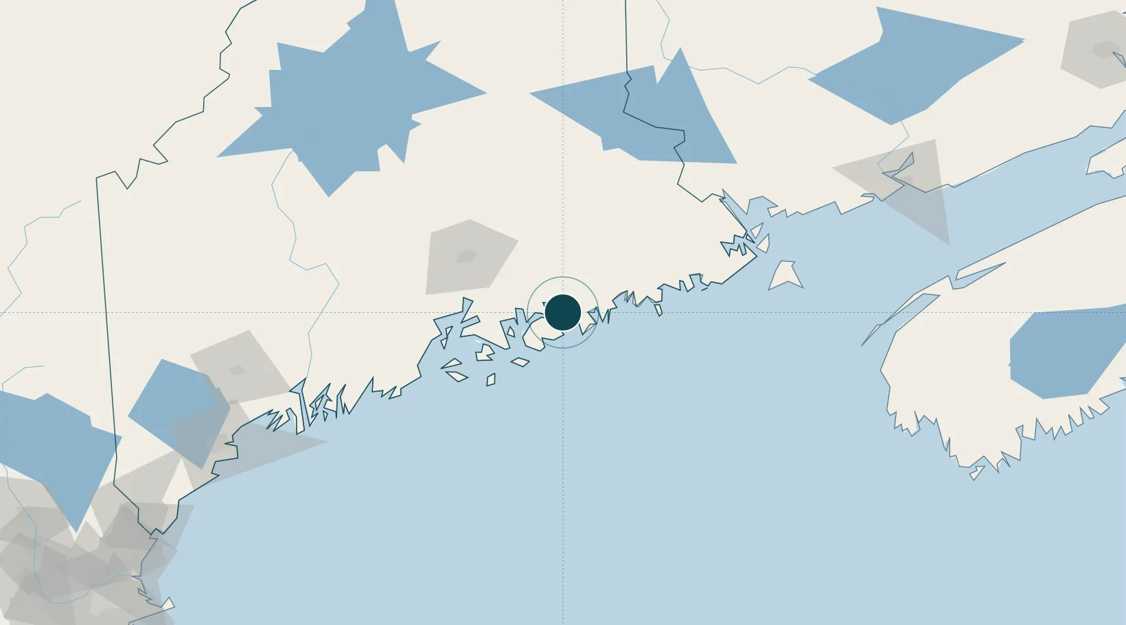
Location
Nearby Logistics Neighbours
Ports
- 1Bar Harbor9 km
- 2Winter Harbor12 km
- 3Mount Desert16 km
- 4Ellsworth21 km
- 5Southwest Harbor23 km
Cities
- 1Hancock8 km
- 2Ellsworth20 km
- 3Cherryfield26 km
- 4Harrington34 km
- 5Addison38 km
Airports
- 1Hancock County-Bar Harbor Airport14 km
- 2Islesboro Airport61 km
- 3Bangor International Airport63 km
- 4Witherspoons Airport65 km
- 5Vinalhaven Airport67 km
Trade Zones
- 1FTZ No. 058 Bangor63 km
- 2FTZ No. 186 Waterville121 km
- 3FTZ No. 263 Auburn166 km
- 4Saint John189 km
- 5FTZ No. 081 Portsmouth265 km
DatabookThe Record of Consolidated Knowledge
United States beyond logistics?