Channel & Berth Profile
Pilotage, Tugs & Services
Pilotage compulsoryNO
Pilotage availableNO
Tug assistanceNO
Salvage tugsNO
Diesel bunkersYES
Facilities & Capabilities
Container—
Ro-Ro—
Liquid bulk—
Dry bulk—
Oil terminal—
Break bulk—
Dry dock—
RepairsNO
Bunkering—
Rail link—
Dangerous cargo—
ISPS security—
Harbour Specifications
Harbour size
Very Small
Harbour type
Coastal (Natural)
Shelter
Good
Water body
North Atlantic Ocean
Tidal range
4 m
Overhead limit
No
Pilotage
No
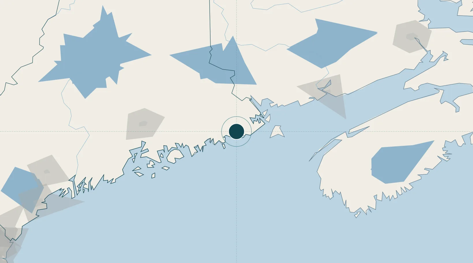
Location
Nearby Logistics Neighbours
Cities
- 1East Machias4 km
- 2Machias4 km
- 3Jonesport27 km
- 4Addison29 km
- 5Harrington34 km
Airports
- 1Hancock County-Bar Harbor Airport81 km
- 2Bangor International Airport113 km
- 3Islesboro Airport128 km
- 4Digby / Annapolis Regional Airport129 km
- 5Witherspoons Airport132 km
Trade Zones
- 1FTZ No. 058 Bangor113 km
- 2Saint John123 km
- 3FTZ No. 186 Waterville183 km
- 4FTZ No. 263 Auburn233 km
- 5FTZ No. 179 Madawaska296 km
DatabookThe Record of Consolidated Knowledge
United States beyond logistics?