UN/LOCODE hub · United States
USEM7

East Machias

44.7333°, -67.3833°
1,350
Population
3
Transport functions

Transport Functions

Port
Rail
Road
UN/LOCODE

Hub Profile

Place type
Populated place
GeoNames
Region
Maine
GeoNames
Population
1,350
GeoNames
Time zone
America/New_York
GeoNames
Elevation
11 m
GeoNames

Location

Location of USEM7
Natural Earth 10m (public domain) · Maine · USEM7 · 44.73, -67.38GoogleOSMYandex

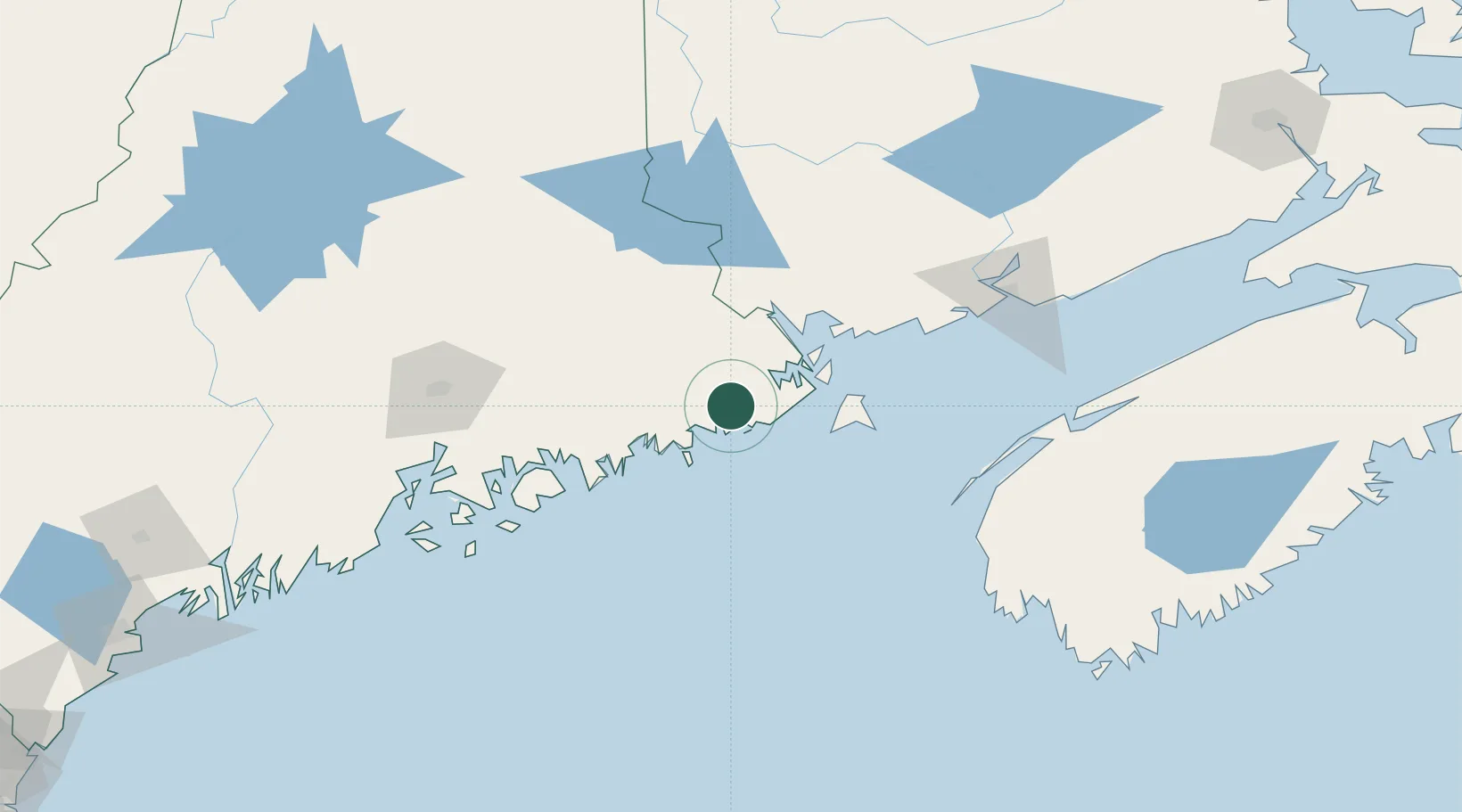
Nearby Logistics Neighbours

Cities
  1. 1Machias6 km
  2. 2Jonesport30 km
  3. 3Addison32 km
  4. 4Lubec34 km
  5. 5Eastport37 km
Nearest neighbours — logibook spatial index (haversine) over the source coordinates
Ports
  1. 1Machiasport4 km
  2. 2Machias7 km
  3. 3Jonesport29 km
  4. 4Lubec35 km
  5. 5Eastport37 km
Nearest neighbours — logibook spatial index (haversine) over the source coordinates
Airports
  1. 1Hancock County-Bar Harbor Airport84 km
  2. 2Bangor International Airport114 km
  3. 3Digby / Annapolis Regional Airport128 km
  4. 4Islesboro Airport130 km
  5. 5Saint John Airport134 km
Nearest neighbours — logibook spatial index (haversine) over the source coordinates
Trade Zones
  1. 1FTZ No. 058 Bangor113 km
  2. 2Saint John120 km
  3. 3FTZ No. 186 Waterville185 km
  4. 4FTZ No. 263 Auburn235 km
  5. 5FTZ No. 179 Madawaska293 km
Nearest neighbours — logibook spatial index (haversine) over the source coordinates
DatabookThe Record of Consolidated Knowledge
United States beyond logistics?
Browse databook

All Sources

LocationsUN/LOCODE
UN/LOCODE — free
LocationsGeoNames
CC BY 4.0
Portsthe NGA World Port Index
Public domain (US gov)
AirportsOurAirports
Public domain
Trade Zonesthe World Bank SEZ database
CC BY 4.0
Trade ZonesOpen Zone Map
CC BY
← United States locations