UN/LOCODE hub · United States
USJON
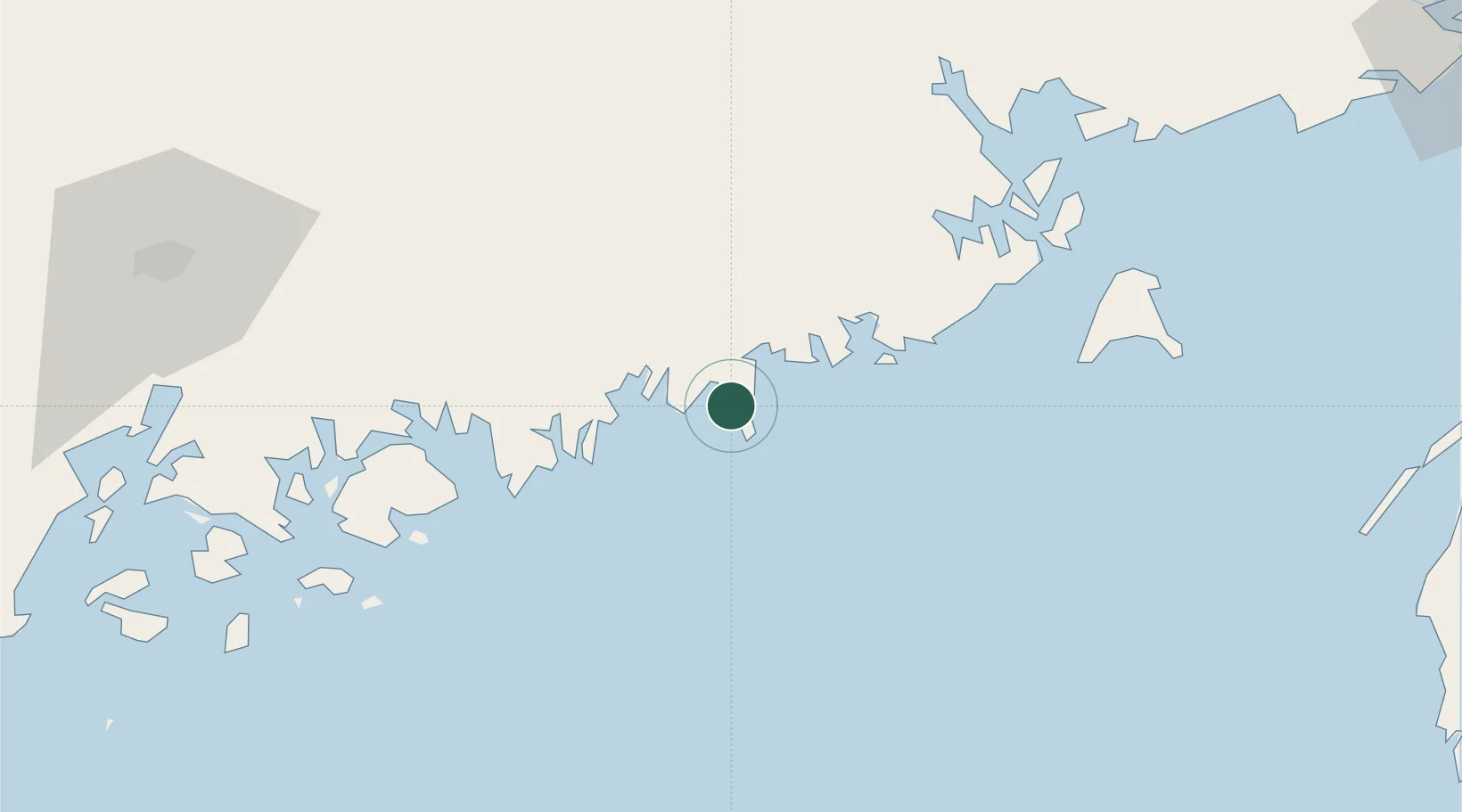
Jonesport
44.5167°, -67.6167°
1,464
Population
1
Transport functions
Transport Functions
Port
Hub Profile
Place type
Populated place
Region
Maine
Population
1,464
Time zone
America/New_York
Elevation
0 m
Location
Nearby Logistics Neighbours
Cities
- 1Addison15 km
- 2Harrington19 km
- 3Machias24 km
- 4Cherryfield26 km
- 5East Machias30 km
Ports
- 1Milbridge21 km
- 2Machias25 km
- 3Machiasport27 km
- 4Winter Harbor40 km
- 5Sorrento45 km
Airports
- 1Hancock County-Bar Harbor Airport60 km
- 2Bangor International Airport101 km
- 3Islesboro Airport106 km
- 4Vinalhaven Airport108 km
- 5Witherspoons Airport108 km
Trade Zones
- 1FTZ No. 058 Bangor100 km
- 2Saint John148 km
- 3FTZ No. 186 Waterville165 km
- 4FTZ No. 263 Auburn211 km
- 5FTZ No. 081 Portsmouth306 km
DatabookThe Record of Consolidated Knowledge
United States beyond logistics?