Channel & Berth Profile
Pilotage, Tugs & Services
Pilotage compulsoryNO
Pilotage availableYES
Tug assistanceNO
Salvage tugsNO
Potable waterYES
Diesel bunkersYES
MedicalYES
Facilities & Capabilities
Container—
Ro-Ro—
Liquid bulk—
Dry bulk—
Oil terminal—
Break bulk—
Dry dock—
Repairs—
Bunkering—
Rail link—
Dangerous cargo—
ISPS security—
Harbour Specifications
Harbour size
Very Small
Harbour type
River (Natural)
Shelter
Good
Water body
North Atlantic Ocean
Tidal range
3.4 m
Overhead limit
Yes
Pilotage
No
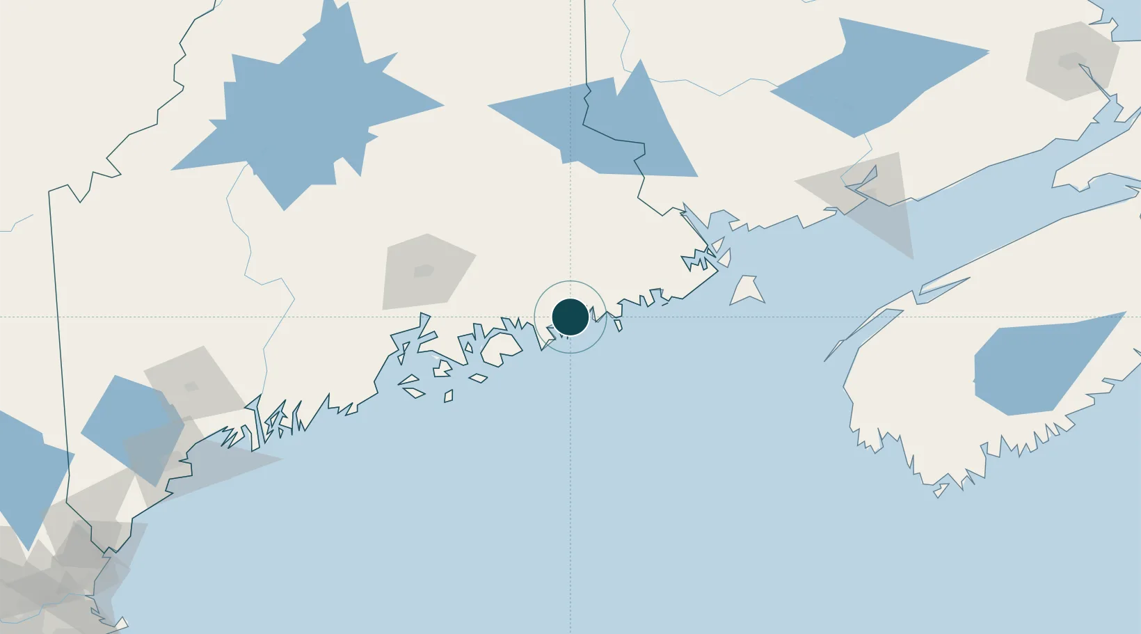
Location
Nearby Logistics Neighbours
Ports
- 1Jonesport21 km
- 2Winter Harbor23 km
- 3Sorrento25 km
- 4Bar Harbor30 km
- 5Machias39 km
Cities
- 1Cherryfield8 km
- 2Harrington11 km
- 3Addison14 km
- 4Jonesport21 km
- 5Hancock29 km
Airports
- 1Hancock County-Bar Harbor Airport39 km
- 2Bangor International Airport81 km
- 3Islesboro Airport86 km
- 4Witherspoons Airport90 km
- 5Vinalhaven Airport90 km
Trade Zones
- 1FTZ No. 058 Bangor80 km
- 2FTZ No. 186 Waterville144 km
- 3Saint John165 km
- 4FTZ No. 263 Auburn191 km
- 5FTZ No. 081 Portsmouth289 km
DatabookThe Record of Consolidated Knowledge
United States beyond logistics?