UN/LOCODE hub · United States
USCFF
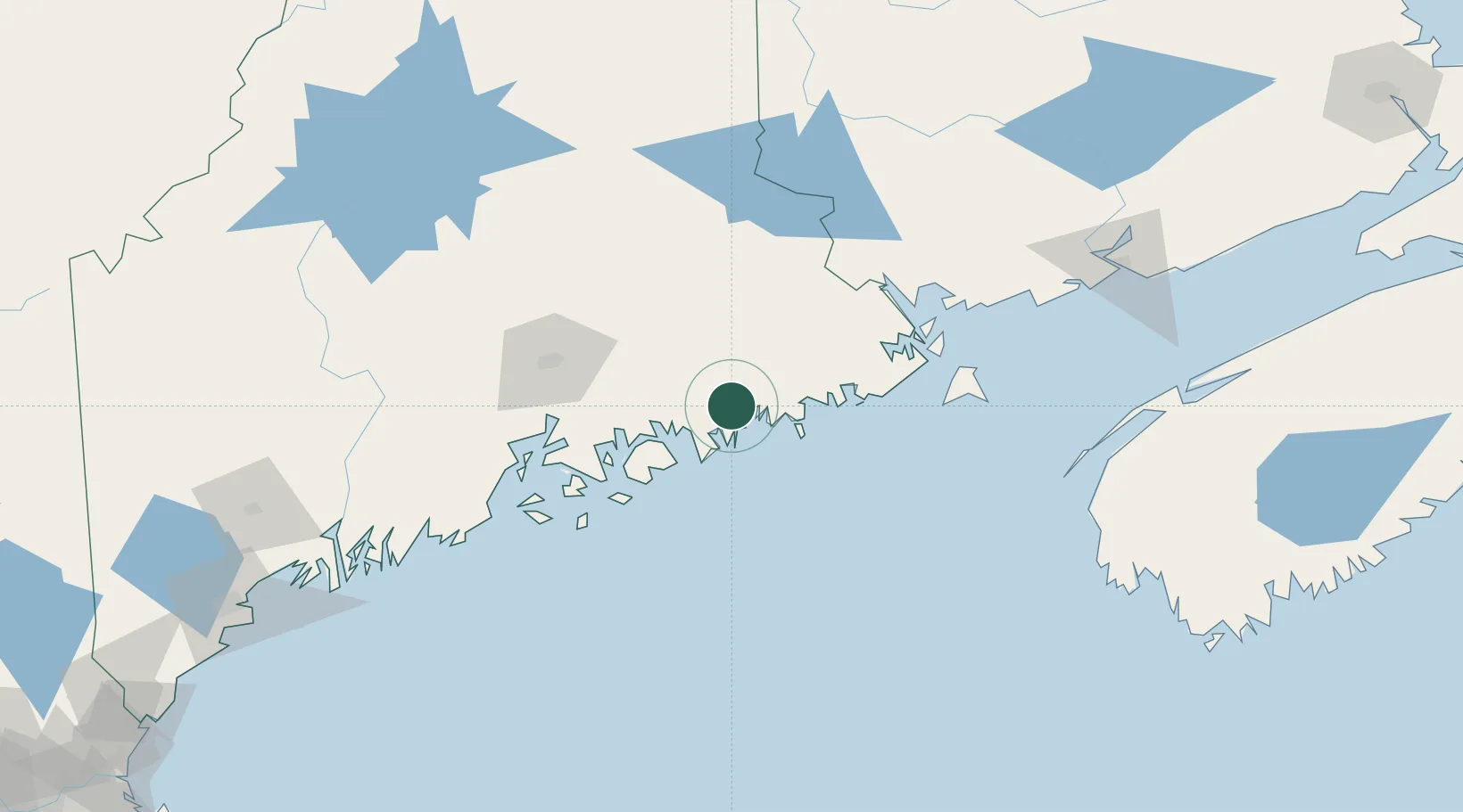
Cherryfield
44.6000°, -67.9167°
1,203
Population
2
Transport functions
Transport Functions
Port
Road
Hub Profile
Place type
Populated place
Region
Maine
Population
1,203
Time zone
America/New_York
Elevation
18 m
Location
Nearby Logistics Neighbours
Cities
- 1Harrington8 km
- 2Addison13 km
- 3Jonesport26 km
- 4Hancock28 km
- 5Machias39 km
Ports
- 1Milbridge8 km
- 2Jonesport25 km
- 3Sorrento26 km
- 4Winter Harbor28 km
- 5Bar Harbor33 km
Airports
- 1Hancock County-Bar Harbor Airport39 km
- 2Bangor International Airport76 km
- 3Islesboro Airport86 km
- 4Witherspoons Airport91 km
- 5Vinalhaven Airport93 km
Trade Zones
- 1FTZ No. 058 Bangor75 km
- 2FTZ No. 186 Waterville141 km
- 3Saint John164 km
- 4FTZ No. 263 Auburn191 km
- 5FTZ No. 081 Portsmouth291 km
DatabookThe Record of Consolidated Knowledge
United States beyond logistics?