Transport Functions
Port
Road
Multimodal
Hub Profile
Place type
Populated place
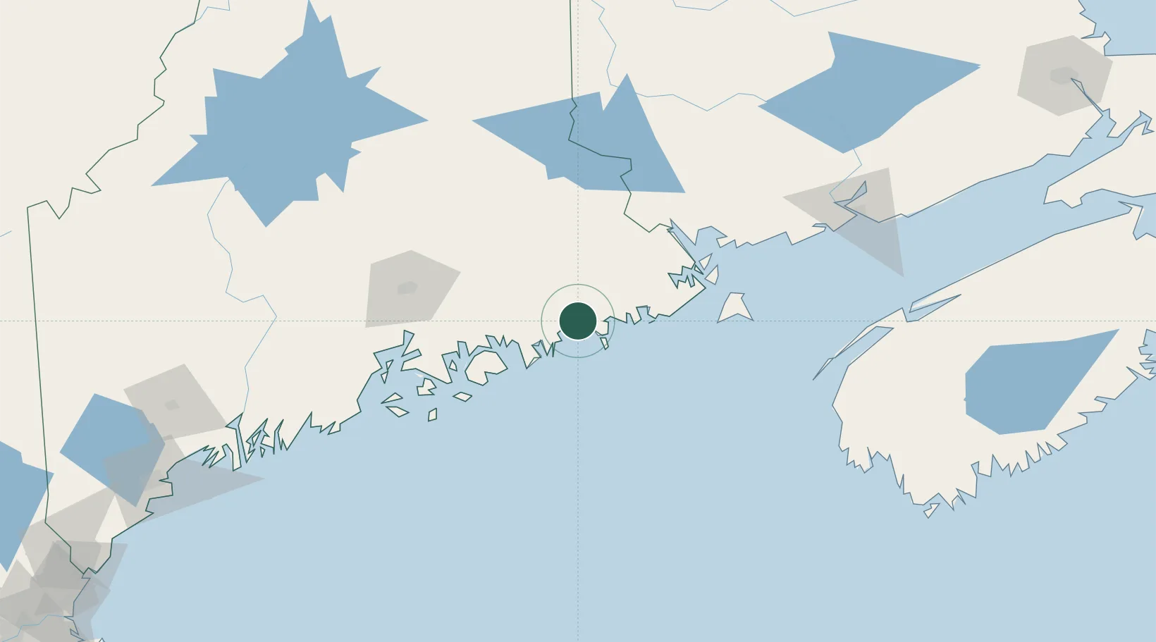
Region
Maine
Population
1,257
Time zone
America/New_York
Elevation
3 m
Location
Nearby Logistics Neighbours
Cities
- 1Harrington5 km
- 2Cherryfield13 km
- 3Jonesport15 km
- 4Machias26 km
- 5East Machias32 km
Ports
- 1Jonesport14 km
- 2Milbridge14 km
- 3Machias25 km
- 4Machiasport29 km
- 5Winter Harbor37 km
Airports
- 1Hancock County-Bar Harbor Airport52 km
- 2Bangor International Airport88 km
- 3Islesboro Airport99 km
- 4Witherspoons Airport103 km
- 5Vinalhaven Airport104 km
Trade Zones
- 1FTZ No. 058 Bangor87 km
- 2Saint John151 km
- 3FTZ No. 186 Waterville155 km
- 4FTZ No. 263 Auburn204 km
- 5FTZ No. 179 Madawaska300 km
DatabookThe Record of Consolidated Knowledge
United States beyond logistics?