Channel & Berth Profile
Pilotage, Tugs & Services
Pilotage compulsoryYES
Pilotage availableYES
Pilotage advisableYES
Local assistanceYES
Tug assistanceYES
Shore powerYES
Potable waterYES
Diesel bunkersYES
MedicalYES
Garbage disposalNO
Facilities & Capabilities
Container—
Ro-Ro—
Liquid bulk—
Dry bulk—
Oil terminal—
Break bulk—
Dry dock—
RepairsNO
BunkeringYES
Rail link—
Dangerous cargo—
ISPS security—
Harbour Specifications
Harbour size
Medium
Harbour type
Coastal (Breakwater)
Shelter
Good
Water body
North Pacific Ocean
Tidal range
0.3 m
Pilotage
Yes
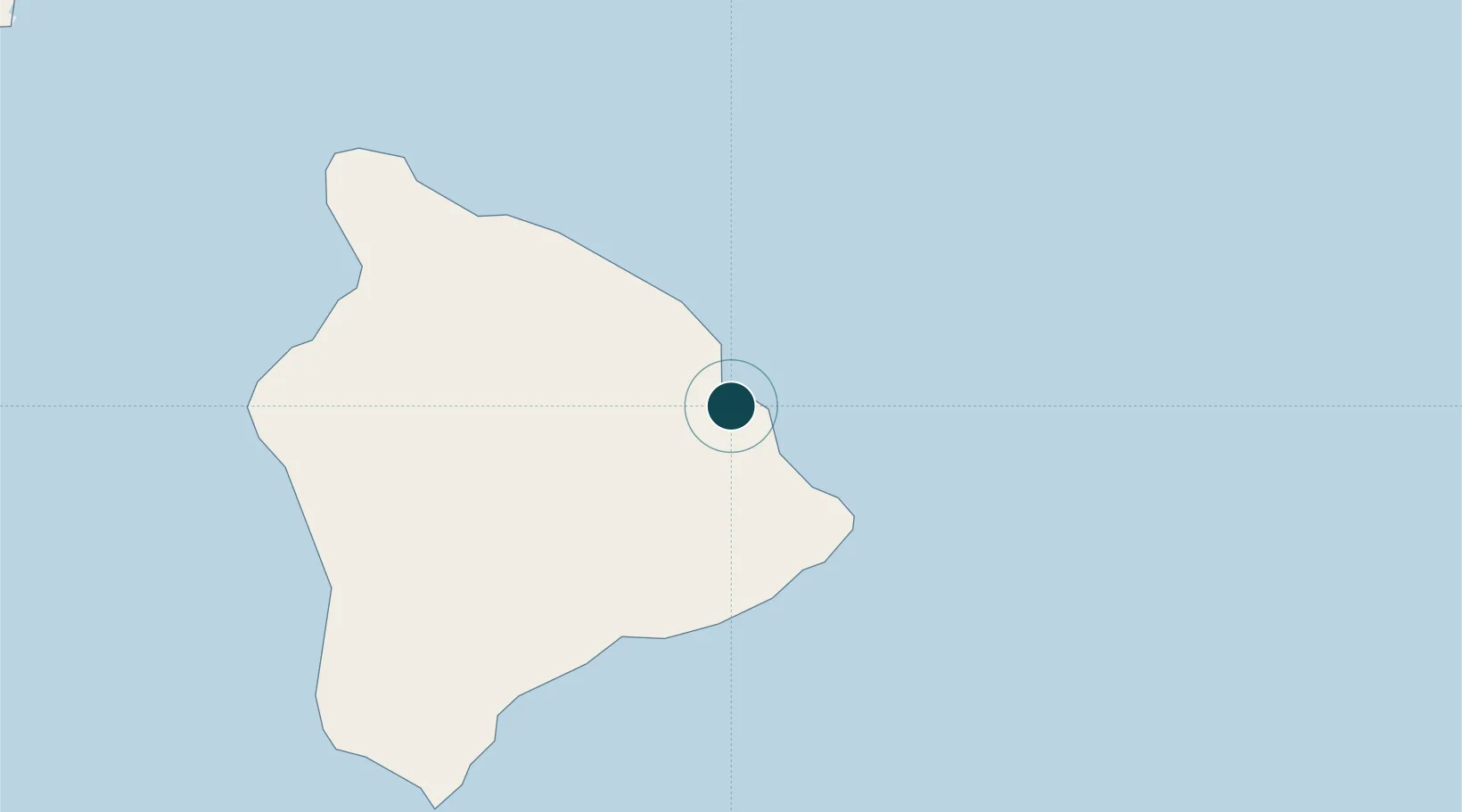
Location
Nearby Logistics Neighbours
Cities
- 1Ulupalakua171 km
- 2Haiku185 km
- 3Kihei186 km
- 4Kahului195 km
- 5Kailua334 km
Airports
Trade Zones
- 1FTZ No. 009 Honolulu340 km
- 2FTZ No. 003 San Francisco3735 km
- 3FTZ No. 056 Oakland3745 km
- 4FTZ No. 248 Eureka3747 km
- 5FTZ No. 132 Coos County3890 km
DatabookThe Record of Consolidated Knowledge
United States beyond logistics?